Brief/Background
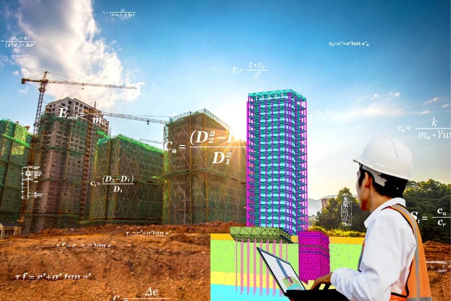
To begin with, PLAXIS Designer is an easy-to-use application for building 3D conceptual models. It can help you overcome the challenges of merging and analyzing data. With Bentley’s open modeling environment, PLAXIS Designer enables you to visualize and manipulate geotechnical site data such as topology, boreholes, piezometers, and other field instrumentation data, as well as engineering staged construction and design.
We can import Geostrata based on borehole data, or from one of many different file formats. Surfaces can be represented as grids or as triangulated surfaces (TINs). Once we create the 3D geometry, we can export it to numerical models in the form of 2D slices or as full 3D models. This will reduce overall design and prototyping time in this system.
In this article, we have a look at the various Mesh operations in PLAXIS Designer
Mesh Operations with PLAXIS Designer
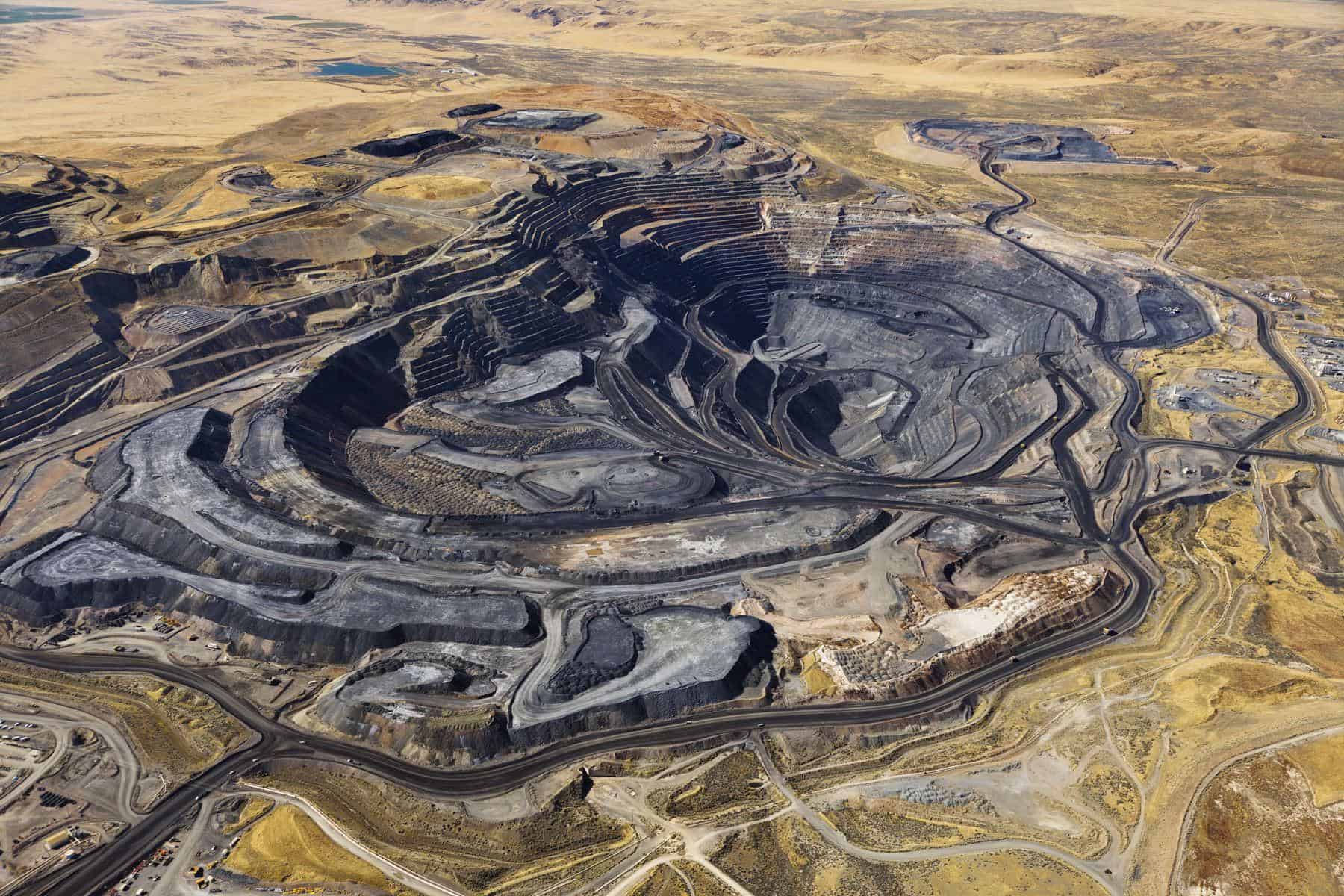
These videos expand on the aspects of Mesh operations for an open-pit example, including:
Merge into new surface: A single new surface that is the result of combining any number of selected surfaces together. Where multiple input surfaces are defined in a region, only the highest or lowest geometry will be kept (as chosen in the dialog).
Merge into new surface
Carve Overlaps: Modifies any number of selected subject surfaces based on a single clip surface. Each surface may have part of its geometry deleted, based on the chosen dialog option and whether the geometry is above or below the clip surface.
Carve Overlaps
Resolve Overlaps: Modifies each surface based on the surfaces that are above it in the subject surfaces list. It modifies each surface’s geometry such that it is not above or below (as chosen in the dialog) the surfaces that are above it in the subject surfaces list.
Resolve Overlaps
Build Up or Down: Modifies any number of selected subject surfaces based on a single clip surface. Each surface may have its geometry moved up or down, depending on the chosen dialog option. For example, we can use this action to build a dam or pit into a terrain.
Build up or down
Further Learning
You can have a look at this article for more information regarding PLAXIS.
