Civil design projects are typically located on the earth at an exact geographic position through a geographic coordinate system. A geographic coordinate system expresses the coordinates of the project data by defining a reference ellipsoid and datum. Coordinates may then be input using various methods such as Cartesian (X,Y,Z) or Lat/Long (latitude, longitude, and elevation) coordinates. MicroStation‘s intrinsic geo-coordination features support the use of geographic coordinate systems (GCS), allowing you to specify the position of project data on the earth’s surface. They can also assist in the location of data further attached or imported into a project.
Working with Latitude/Longitudinal Coordinates & Geographic Coordinate Systems in MicroStation
When a geographic coordinate system (GCS) is active within a model, an auxiliary coordinate system (ACS) is created. When the GCS is made the active ACS, data can then be entered using Lat/Long format, and the coordinate readout can be set to show latitude and longitude.
MicroStation allows the usage of multiple geographic coordinate systems (GCS) within a civil design project. This may be through different GCS’s attached to various models in the active design file or through additional data incorporated into the project through various referencing types. In this exercise, you will learn how to leverage additional design information by attaching and viewing references in various formats that use a different GCS than that of the active model in the edited design file.
View a Project Location in Google Maps with MicroStation
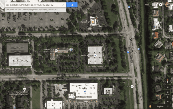
It is often helpful to visualize your project’s location with respect to the existing infrastructure and other location features. The Open Google Maps tool is used to open Google Maps in your web browser with the location displayed that is being viewed from within MicroStation.
Capture the Google Earth Image for Your Project with Geographical Position
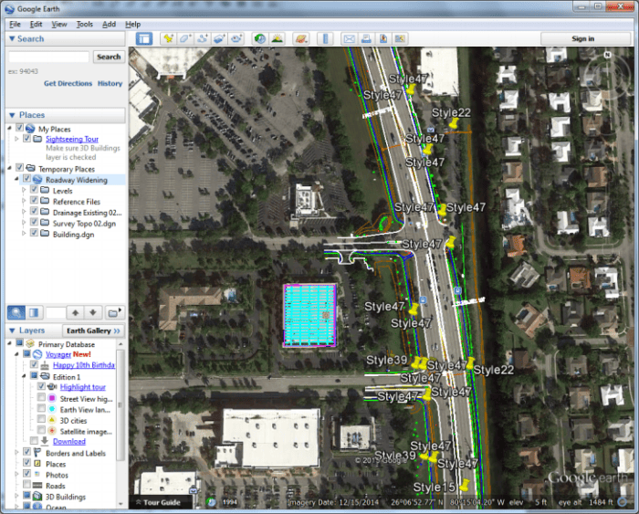
The best practice is to obtain the correct location and accuracy of any aerial photo or raster data. However, in a pinch, lower-resolution imagery direct from Google Earth may be in order. Any images are saved out as JPG, which will contain GCS information. These images, by default, are gray-scale but can be saved directly from Google Earth in color mode. They also contain terrain information. Therefore the tools can only be used on 3D models. Again, while the images may not have the resolution you desire, they may get the information you need as imagery into your project quickly and without purchasing additional software or images.
Bing Maps and MicroStation
Bing Maps is a web mapping service provided by Microsoft Corporation. Since MicroStation Update 7, all you need to use Bing Maps is to assign a GCS to your DGN file. Once you have a GCS assigned, you can go to the View Attributes and select the desired Bing Maps Layers type. Then, when you have the Bing Maps raster attached, the information is streamed from a raster server over the internet. In MicroStation design model, the level of detail, resolution, and granularity increase as you zoom in. MicroStation will make a request to the server to obtain the highest level of detail possible for that area based upon the zoom level.
- Assign a geographical coordinate system (GCS) to your model
- Activate the Bing Maps Layer via View Attributes
Generating Georeferenced PDF Files with MicroStation
MicroStation provides the ability to generate PDF output from design projects through the printing environment. The Bentley PDF print driver, pdf.pltcfg, can create PDF files containing a variety of attributes, including bookmarks, links, optional content (levels and reference files), and geospatial attributes such as measuring and georeferencing.
Have you tried the geo-coordination functionalities with your MicroStation?


