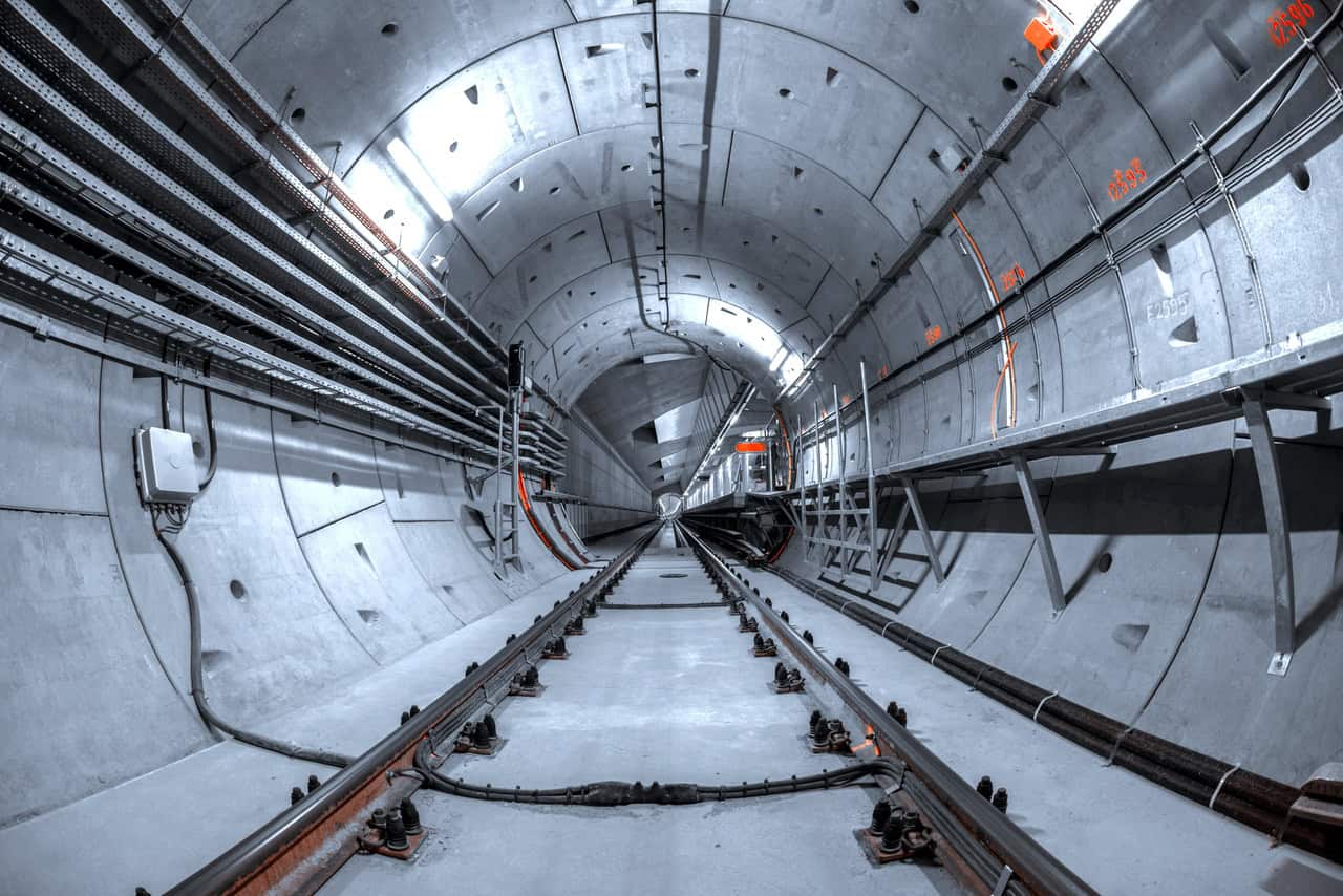
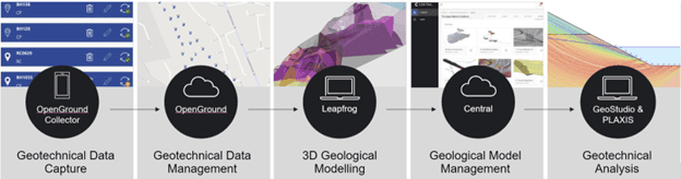
Integrated Geotechnical Workflow
The vision of Seequent, the Bentley Subsurface Company, is to provide a series of subsurface solutions that seamlessly integrate into each stage of infrastructure development. The workflow begins with field data collection and management with OpenGround, moves on to subsurface characterization and geological modeling with LeapFrog Works, and culminates in the advanced stage of geotechnical analysis with PLAXIS and GeoStudio.
Geotechnical Analysis
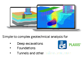
Geotechnical analysis is a fundamental step in the development of many infrastructure projects. This step is supported by numerical analysis, where changes in stress and deformation in existing and planned structures are examined. Establishing a comprehensive terrain model with accurate design parameters prior to analysis is crucial to reflect expected terrain conditions. The insights gained from this analysis guide the selection, design, and specification of solutions.
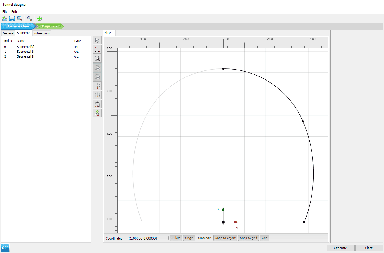
Seequent’s available geotechnical analysis technology solutions are GeoStudio and PLAXIS, both reliable applications for complex engineering problems that can be used for 2D and 3D geometry analysis.
Saying Goodbye to PLAXIS LE (SOILVISION)
PLAXIS LE (formerly SOILVISION) was originally part of this analysis workflow. However, in June 2023, Seequent made the arduous decision to end support for and retire PLAXIS LE and PLAXIS Designer. This decision was part of Seequent’s vision to streamline the geotechnical workflow and focus on the development of a single limit equilibrium solution to improve the user’s experience.
What Is Next in Limit Equilibrium?
Seequent is confident that using GeoStudio as a replacement for PLAXIS LE will help users achieve the optimal results and designs.
GeoStudio has been widely used for geotechnical analysis for well over 30 years. It has several unique features that make it a stronger, more reliable, long-term solution for geotechnical analysis than PLAXIS LE, and it interoperates with a wide range of cloud-based applications.
GeoStudio offers superior functionality and interoperability with other Seequent products, such as Leapfrog, PLAXIS (FEM), and other cloud-based applications. These features make GeoStudio an excellent option for the increasing number of users who are building more connected workflows and embarking on their digital twin journeys.
GeoStudio, a One-of-a-kind Solution
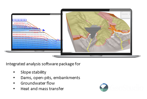
GeoStudio is the only solution in the world that offers general limit equilibrium analysis, finite element stress-based stability analysis, and automated strength reduction stability analysis in the same modeling environment. Users do not need to import results from different modules–GeoStudio allows for seamless integration of any type of stability analysis. GeoStudio also allows users to perform rapid drawdown analysis and complex seepage analysis, assess dewatering and settlement, and organize complex construction sequences by using the analysis tree.
GeoStudio has a long track record in limit equilibrium slope stability analysis for civil and mining engineering projects, which has made it a robust and trusted solution for a range of slope stability, groundwater flow, and environmental challenges.
GeoStudio’s Common Uses
Civil
- Embankments and dams: Analyze the geotechnical structure and subsurface to design safe, dependable embankments, levees, and dams.
- Excavations: Understand how ground conditions and stresses impact excavations and accurately predict soil settlement and structures’ displacement.
- Ground freezing and climate change: Model heat transfer with phase change due to conduction and convection.
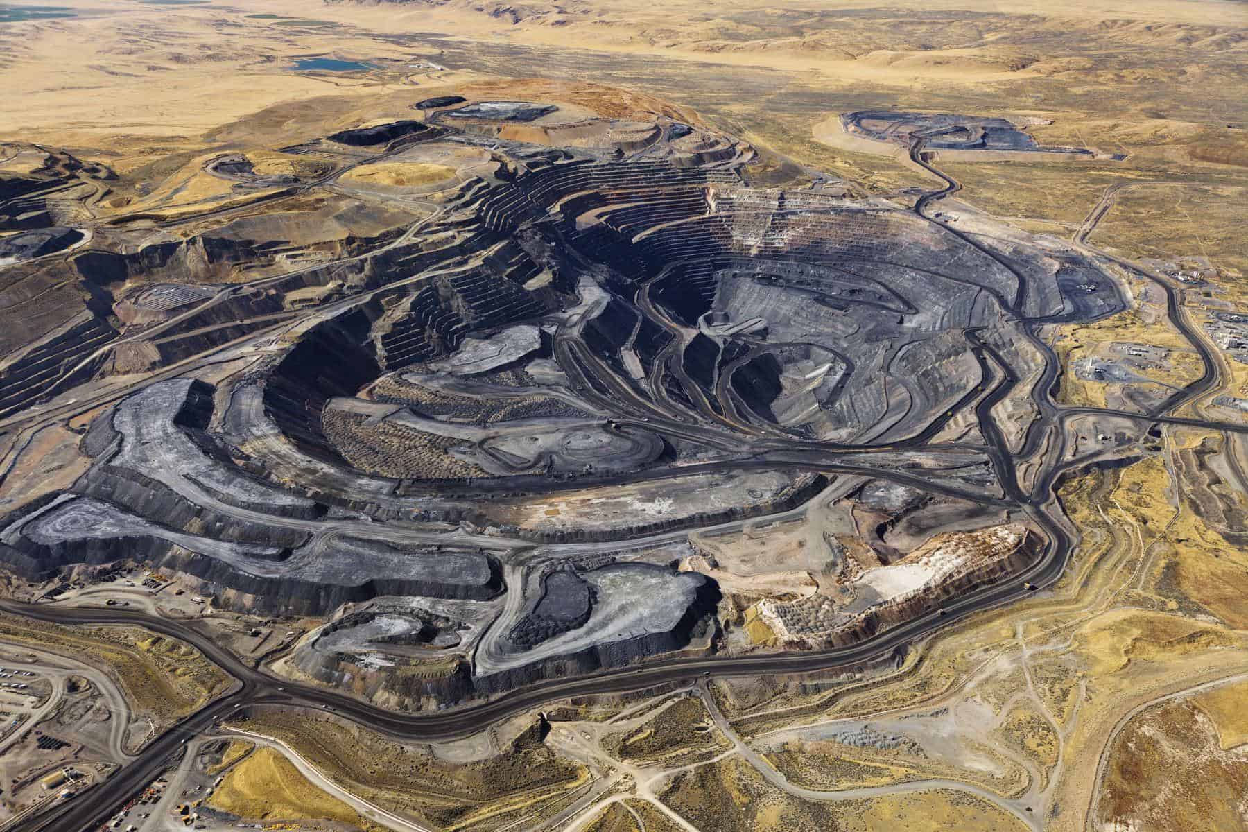
Mining
- Open pit stability: Evaluate safety and failure mechanisms on a pit slope, and back analyze open pit highwall failures.
- Open pit dewatering: Understand the time-dependent response of the hydrogeological
system to dewatering efforts and remediation strategies.
- Tailings dams: Analyze the construction and operation of tailings storage facilities to mitigate the risk of dam failure.
Environmental
- Environmental protection: Address issues during pre-construction and construction
stages, as well as evaluate long-term performance.
- Groundwater: Improve management of groundwater resources by understanding the
hydrogeological behavior of both natural and human-made systems.
Highlights of GeoStudio’s New Features
GeoStudio 3D, containing SLOPE3D (the 3D version of SLOPE/W), is the replacement for PLAXIS 3D LE and offers a practical, yet sophisticated, approach for capturing 3D slope failure mechanisms in both soil and rock, given a variety of slip surface shapes, pore water pressure conditions, and soil properties. Enhancements in capturing planar and non-planar geological discontinuities in both 2D and 3D stability analysis, optimization search for 3D slip surface shape, and global 2D and 3D search are just some examples of GeoStudio 3D’s newest features.
More details available here.
Case Study: Comparing PLAXIS LE to GeoStudio
A detailed stability analysis of the Ripley landslide in central British Columbia, Canada, was originally performed in PLAXIS LE as part of a graduate research project. This model assessed limit equilibrium stability analysis and investigated the influence of changing pore water pressure conditions at this site. GeoStudio was used to verify the results and observed a failure mechanism in the Ripley landslide. Integral features used in GeoStudio for this analysis were:
- The ability to easily couple 3D seepage and stability analysis.
- The use of weak layers for defining a discontinuity.
- Cuckoo search to investigate the critical failure area, as well as the fully-specified search method to replicate the PLAXIS LE results.

Why Should You Use GeoStudio?
GeoStudio can save up to 70% to 80% of design time and provide a deeper understanding of your project. In a slope stability problem, you can create a quick model, simultaneously perform a straightforward slope stability and sensitivity analysis, and access powerful visualization features to interpret model results.
GeoStudio is a unique solution, offering the ability to solve multiple analysis types on various geometries in a single file, increasing confidence and reducing risk. In addition to GeoStudio’s 40 years of development, GeoStudio’s position in the Seequent product portfolio allows for extended interoperability with solutions such as Leapfrog, providing additional workflow benefits and a modeling experience that is second to none.
Please join our webinar to learn more about how GeoStudio can help your geotechnical workflow.