Almondz Transforms City-Scale Geospatial Data Management in India
Organization: Almondz Global Infra-consultant Limited
Project Name: NAKSHA
Location: Gujarat, India
Project Scale:318 square kilometers, over 100+ terabytes of raw data, and over 500,000+ images
Expected ROI: 50% overall digital workflow savings, 40% faster 3D mesh reconstruction, 12% to 14% production cost savings, 10% to 15% potential increase in municipal revenue
Bentley Software: iTwin Capture
Project: Building city digital twins from over 100 terabytes of reality data
The Government of Gujarat launched Project NAKSHA, a visionary initiative to develop a highly accurate 2D/3D geospatial data management foundation for its rapidly growing urban areas. The goal was to create a unified digital ecosystem for smart city planning, revenue enhancement, and disaster management across key cities.
Almondz Global Infra-consultants Limited was selected to lead this monumental task, responsible for the end-to-end workflow—from drone data acquisition and lidar scanning to the final digital twin deliverables. However, the project’s sheer scale posed a critical challenge. The team had to process over 100 terabytes of data, including more than 500,000 images and billions of LiDAR lidar points. At this scale, Almondz needed a reality modeling workflow that could align drone imagery, lidar point clouds, and geospatial data into accurate city digital twins.
Initially, the team tested traditional photogrammetry tools and third-party processors, but these solutions quickly proved inadequate. They lacked the automation for city-scale modeling, could not efficiently handle mixed lidar and oblique imagery datasets, and resulted in slow processing times with high manual intervention. These limitations became a major obstacle, threatening project deadlines and the required level of accuracy.

Facts: Faster reality modeling for city-scale digital twins
- Massive efficiency gains:
Almondz saved 50% of total work hours by transitioning to a digital twin workflow for city-scale reality data management. They reduced 3D mesh in time by 40%, saving nearly 1,800 work hours. Additionally, automated lidar classification reduced manual editing time by 30%.
- Reduced rework and cost savings
The integrated workflow reduced project rework by over 35%, leading to an estimated cost saving of 12% to 14% during production.
- Significant community benefit:
The high-resolution digital twin provides a single source of truth for land record departments and municipal corporations, with early estimates suggesting a potential 10% to 15% increase in municipal revenue through better property assessment.
- Foundation for a smarter future:
By digitizing entire cities, the project has laid the foundation for smarter, safer, and more resilient infrastructure management, enabling data-driven decisions for flood modeling, utility planning, and sustainable development.
Using Bentley’s reality modeling and geospatial ecosystem, our team was able to convert complex terrain and city data into 3D digital twin datasets that can be utilized by various stakeholders… [...] empowering local authorities with reliable digital information for sustainable development.
— Gaurav Sharma, Vice President, Almondz Global Infra-consultant Limited
Solution: Processing lidar and drone imagery with iTwin Capture
To execute their vision, Almondz needed a robust, scalable, and interoperable environment that could handle more than just photographs. They achieved this by deploying iTwin Capture as their core reality modeling pipeline.
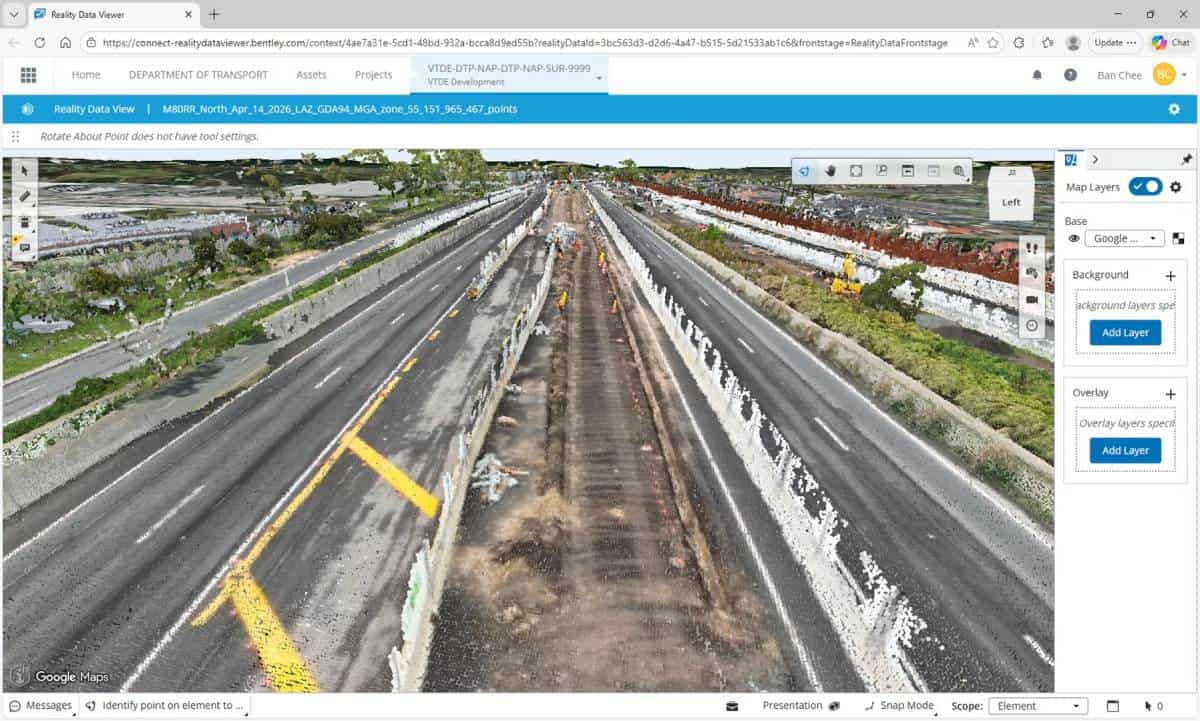
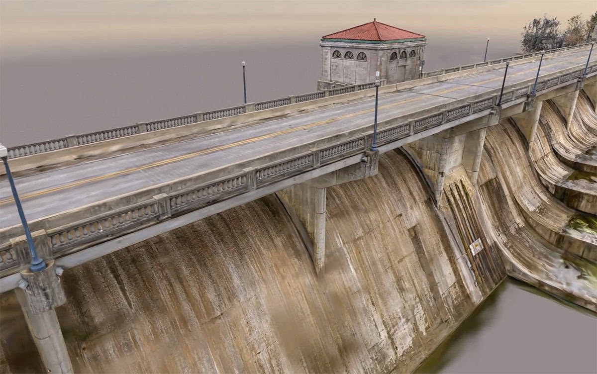
This approach gave them the end-to-end capability to manage complex drone, lidar, and reality modeling workflows in a single environment. Almondz used iTwin Capture to efficiently process the vast datasets, seamlessly integrating and aligning lidar point clouds with oblique photogrammetry. This powerful fusion ensured the highly accurate reconstruction of intricate façade details, narrow roads, and dense urban zones that traditional photogrammetry tools missed.
By utilizing iTwin Capture’s distributed processing capabilities, the team significantly accelerated their production cycles while ensuring that ground control networks and varied sensor data aligned into a unified 3D city digital twin with consistent accuracy.
Outcome: High-accuracy city digital twins for Gujarat’s urban governance
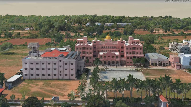
Almondz’s digital strategy delivered measurable and transformative impact across the entire state. By adopting a unified workflow powered by iTwin Capture, the team reduced 3D mesh reconstruction time by 40%, saving nearly 1,800 work hours across cities like Nadiad, Navsari, and Anand. Automated lidar classification slashed manual editing time by 30%, and superior data integration reduced project rework by over 35%, ultimately driving a 12% to 14% savings in production costs. Overall, the shift to a digital ecosystem saved 50% in total work hours.
The resulting high-resolution digital twins—covering over 318 square kilometers and boasting better than 10-centimeter precision—now empower local municipalities with actionable intelligence. Early estimates project a 10% to 15% increase in municipal revenue through enhanced, data-driven property tax assessments.
By integrating Bentley’s tools, Almondz shifted from fragmented file processing to a governed digital twin workflow. They successfully turned over 100 terabytes of raw, mixed-sensor data into a secure, scalable foundation for disaster management, utility planning, and urban governance, setting a national benchmark for geospatial modernization in India.
Software: iTwin Capture for city-scale reality modeling
- iTwin Capture: Served as the core reality modeling engine to process, align, and federate over 100 TB terabytes of mixed LiDAR lidar and photogrammetry data into highly accurate, seamless 3D city meshes.