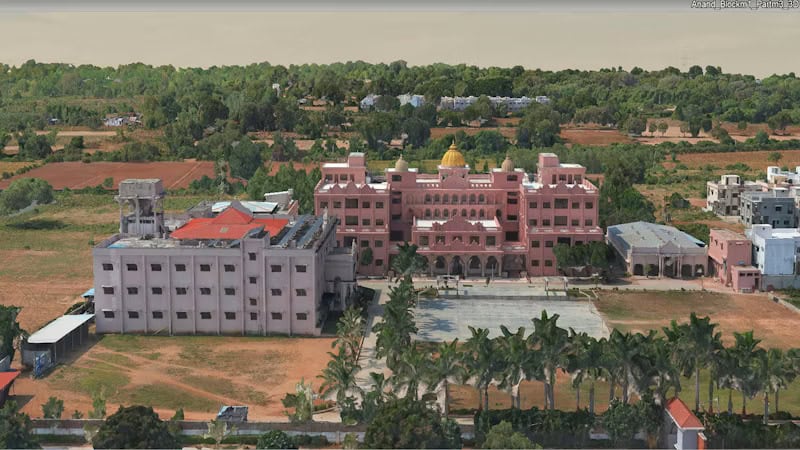
Almondz unified terabytes of mixed LiDAR lidar and drone imagery—using iTwin Capture to cut 3D reconstruction time by 40%, reduce rework by 35%, and lay a resilient digital twin foundation for Gujarat’s smart cities....
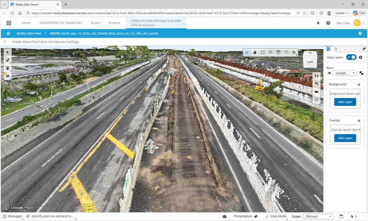
Across Victoria’s vast transport network, managing reality data had become increasingly complex. The Department of Transport and Planning set out to unify fragmented datasets—transforming how reality capture is accessed, reused, and scaled....
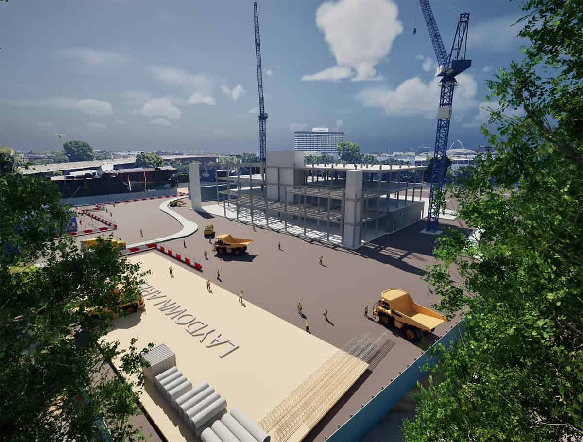
Turn connected project data into clear, immersive experiences that improve stakeholder alignment and accelerate decision-making. Infrastructure teams are generating more data than ever before. Digital twins, BIM models, reality meshes, 4D schedules, and geospatial data are now defining how projects...
In the world of critical infrastructure, trust is the invisible foundation upon which everything is built. Secure cloud collaboration platforms like ProjectWise and geotechnical information management solutions like OpenGround are now essential for meeting federal data security and compliance requirements....
Imagine a workflow as dynamic as the world you’re capturing. A process where your tools don’t dictate your path but adapt to your project’s unique demands. As an engineer, surveyor, or planner, you don’t just capture data; you create the...