OpenSite Designer is an application that employs an open modeling environment. This is used for the delivery of site design projects from concept to completion. This application provides a detailed design for rapid site modeling. OpenSite Designer provides analysis, earthwork optimization, and quantification. Additionally, it also provides drainage and underground utility design, automated project deliverables, and more. In this article, we will go through an introduction to OpenSite Designer and its interface.
OpenSite Designer provides the most comprehensive site design workflow available. The design workflow includes reality modeling, geotechnical, underground utilities. Furthermore, this also includes stormwater drainage, terrain modeling, detailed drawing production, and visualization. By using OpenSite Designer, you can exploit the following capabilities:
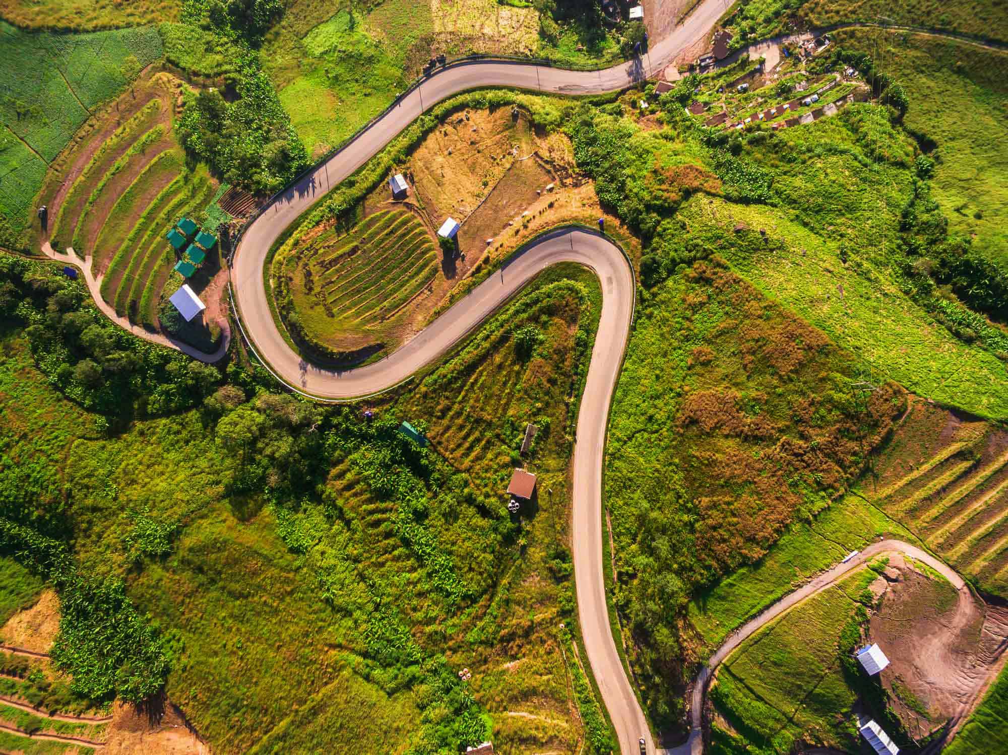
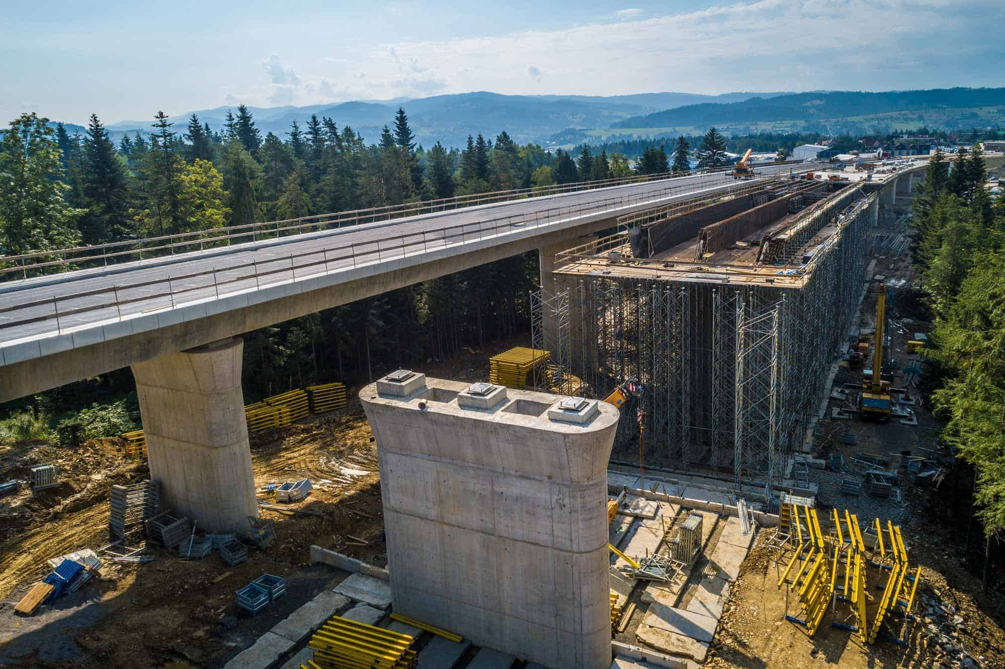
- Firstly, OpenSite Designer assembles the context data rapidly from a variety of sources, such as point clouds, 3D reality mesh, etc. Secondly, you can use other sources such as terrain data, images, and geospatial information to bring real-world settings to your project.
- Secondly, OpenSite Designer helps you achieve exponential modeling performance gains with the model-centric production of design deliverables.
- Also, the application enables users to share project information across teams, locations, and disciplines with precision and security.
- You can use Catalog Services to manage and deliver functional components for consistent generative design across the engineering team.
- You can access Documentation Center to produce multi-discipline documentation for all work on assets across the project.
- Lastly, you can share realistic visualizations with the public and stakeholders to gather feedback, improve public engagements, and speed project approvals.
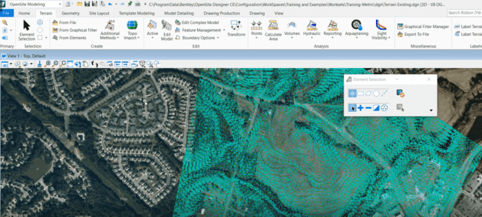 OpenSite Designer UI
Import Ground XML Data
In the last video of the video series, we have learned about the basic tools of the OpenSite Designer. In this video, we will learn how to create a new file, basic design file settings, selecting GCS & importing terrain files. Let’s go to the video.