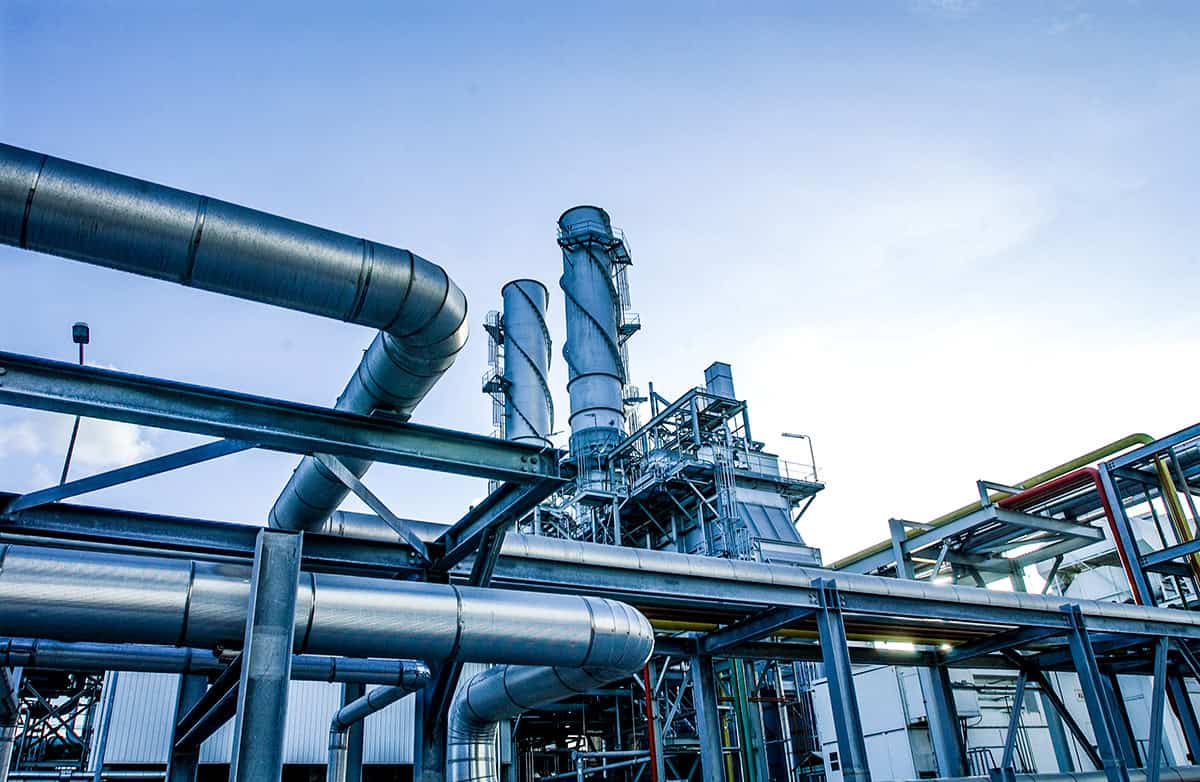
Why data silos prevent successful digital twins
Your organization has invested in capturing reality data from every angle. Infrastructure teams are increasingly using digital twin technology, reality modeling software, AI-powered asset analytics, and reality capture workflows to unify lidar, photogrammetry, BIM, and geospatial data. You have terrestrial lidar scans, mobile mapping data, and high-resolution aerial photogrammetry. You were promised a transformative future with digital twins—a future of optimized performance and reduced risk. So, why are you still struggling with disconnected data silos?
The truth is that a digital twin can’t be built on the foundation of isolated data. When data from different sensors, in different formats, cannot be unified, your initiative stalls. You’re left with a collection of digital dead-ends, not a digital twin. This is the critical challenge: how do you break down these silos, automatically extract value from the unified data, and share those insights with the right stakeholders at the right time?
Three major barriers to scalable digital twin workflows
High-fidelity reality data is the bedrock of a digital twin, but when it’s locked away in silos, it creates fundamental roadblocks.
- The data silo barrier: Your data lives in isolated folders and proprietary formats. Your mobile lidar scans don’t talk to your aerial imagery, and historical scans don’t align with new ones. This lack of a unified solution means that you can never see the whole picture or track changes over time, preventing comprehensive, site-wide analysis.
- The manual intelligence gap: Even if you could view all your data at once, the raw information is unintelligent. It lacks an automated process to extract value or detect changes. It can’t distinguish a utility pole from a tree, or flag a new concrete crack that wasn’t there last month. This forces your surveying teams and experts into endless hours of manual classification—a process that is costly, slow, and unsustainable.
- The collaboration and systems dead-end: Your data is too large, too complex, and too siloed to be easily shared. How do you give a project manager, an engineer, or a remote stakeholder quick access to the specific insights they need without overwhelming them? Without a system to share intelligence, your valuable data remains unseen and unused.
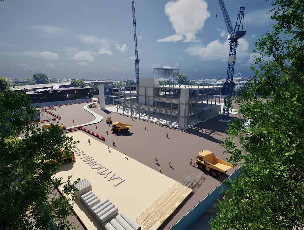
How to transform reality data into smart digital twins
To overcome these hurdles, you need a strategic workflow designed to unify diverse data, extract insights, and make it universally accessible.
1. Establish a unified, geometrically precise foundation First, a high-fidelity 3D model must be created by fusing data from all your sensors. This process combines everything from dense point clouds to aerial images into a single, cohesive reality mesh—complete with deliverables like Gaussian splatting for rapid visualization. Crucially, this isn’t a one-off project; leveraging scalable processing ensures this foundational layer becomes a living baseline that can be efficiently updated with new scans over time to monitor structural health and site evolution.
2. Embed intelligence with AI-powered automation This is where you automatically extract value. The unified model is transformed into an intelligent inventory through automated feature extraction. Modern workflows use AI and machine learning to automatically detect, classify, and catalog assets across your entire fused dataset. Your digital twin no longer just shows you the site; it understands the components on it, turning unstructured data into a structured, queryable database.
3. Ensure openness to empower stakeholders Finally, the intelligent reality model must be open and accessible to be shared at the right time. By producing data in open, streamable standards like OGC 3D Tiles, it is ready to be consumed by any compatible platform. This commitment to openness breaks down the final barrier, ensuring the enriched reality data can be federated with BIM and GIS data in a diverse ecosystem of applications like the iTwin Platform, Cesium, and more.
Real-world digital twin success stories
The Madinah digital twin: unifying a city
The city of Madinah in Saudi Arabia embarked on a mission to create a city-scale digital twin to enhance urban planning and infrastructure management. The project involved integrating massive datasets from aerial and terrestrial lidar, creating a high-fidelity model of the entire urban landscape. This unified digital twin broke down data silos, allowing for advanced simulations and analyses that help optimize city services and improve the quality of life for its millions of residents and visitors.
“Bentley’s iTwin Capture, Orbit 3DM Publisher, and Cesium empowered us to transform Madinah’s urban development with unprecedented speed, precision, and sustainability. This enabled smarter planning, safeguarded cultural heritage, and prepared our city for a resilient, data-driven future.”
—Fayez Al Sayil, Director, Geographical Information Center (GIC) and Urban Observatory (UO)
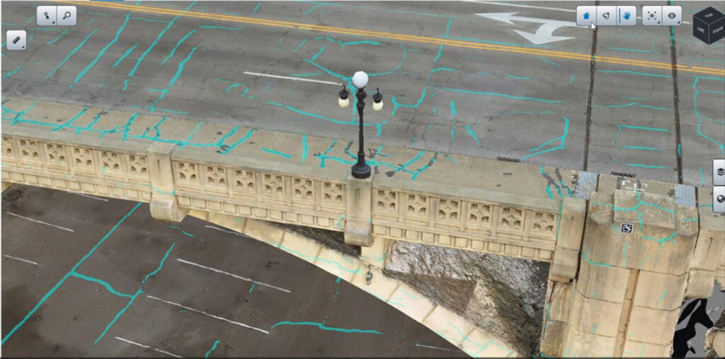
Benesch: automating infrastructure health with AI
Confronted with the slow, costly, and hazardous process of traditional pavement inspections, engineering firm Benesch turned to an AI-driven workflow. Using drone-captured imagery and iTwin Capture, they created high-fidelity digital twins to monitor pavement surfaces over time. They then applied AI-powered analysis to automatically detect, classify, and log cracks and other defects directly within the model. This modernized approach cut inspection time by 75% and is projected to save over USD 144,000 across 100 future airport inspections.
“Through our successful partnership with Bentley, Benesch has produced an extraordinary and highly automated pavement crack data collection workflow that will change the way we analyze and manage pavement assets for our clients.” —Bret Tremblay, Technical Manager, Benesch

How iTwin Capture supports end-to-end reality modeling
This strategic three-step workflow—from data fusion to intelligent connection—is directly enabled by the iTwin Capture suite. iTwin Capture provides a comprehensive set of capabilities to break down data silos at every stage, offering the flexibility to match your project’s specific needs.
1. Create the foundation: reality modeling
The process begins with creating a single, high-fidelity reality model from all your diverse sensor data. iTwin Capture provides powerful reality modeling capabilities, offering everything from hands-on control for detailed projects to on-demand, limitless processing power for massive, city-scale models.
2. Embed intelligence: AI-powered analysis
Next, transform the visual model into an intelligent, actionable asset inventory. The iTwin Capture suite leverages powerful AI and machine learning to automatically perform feature extraction, classification, and data management. This turns your raw reality data into real-world insights, creating a structured, queryable inventory of your assets in a secure environment.
3. Share and collaborate: centralized management
Finally, break down the collaboration dead-end. iTwin Capture provides a single source of truth to manage all your reality data projects in a secure, web-accessible environment. Manage user roles, provide secure access to teams, and stream your intelligent, open-standard reality data for use in any application.
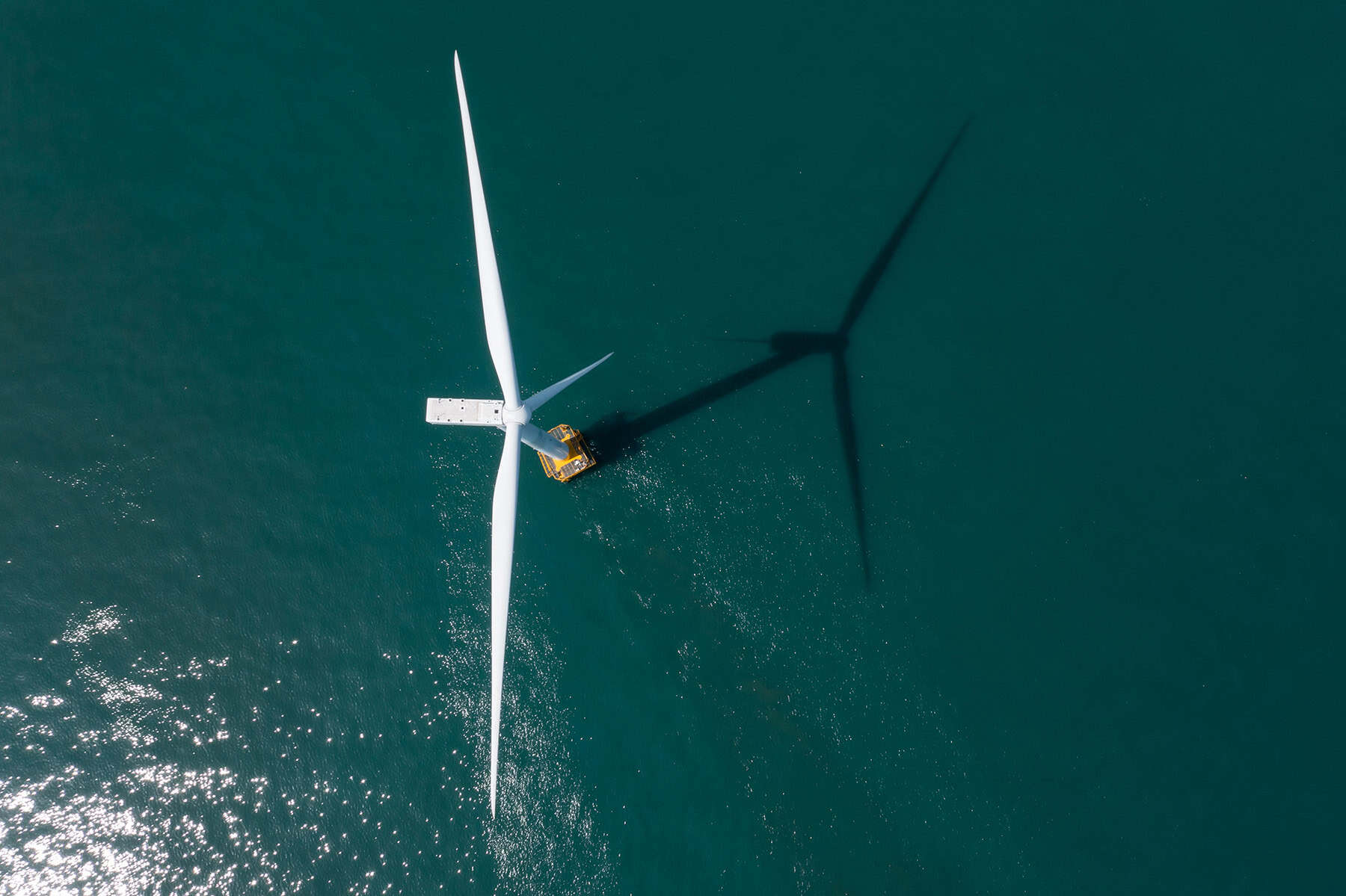
Turn reality data into intelligent digital twins
Unify lidar scans, photogrammetry, mobile mapping, and infrastructure reality data in a scalable digital twin environment. With iTwin Capture, infrastructure teams can automate reality modeling workflows, improve collaboration, and deliver intelligent infrastructure insights faster.