Home / Insights and Inspirations Posts / Water / Tulane Study Says the Gulf Is Moving To Reclaim New Orleans. A Local Engineering Firm Is Digitizing Its Defenses With Bentley Tech

Tulane Study Says the Gulf Is Moving To Reclaim New Orleans. A Local Engineering Firm Is Digitizing Its Defenses With Bentley Tech

A new Tulane study warns that Louisiana's coast is marching north, but researchers and engineers say the state's response could make it a global model for climate adaptation, with data and digital twin technology leading the way.

Kathleen Moore Profile Image

Kathleen Moore

Share

A new study warns that the waters of the Gulf are poised to swallow up New Orleans, but that the challenges posed by Louisiana’s shifting coastline could position the state to become a global leader in climate adaptation strategies.

The study by researchers at Tulane University found that about 125,000 years ago, the Gulf shoreline lay around 30 miles north of New Orleans. The researchers say today’s rising sea levels, amid increasing global temperatures, mean the coastline will likely reach there again in the future—moving as much as 62 miles inland and eventually putting the city, known as the Big Easy, under water. The only question is when. ā€œWith global climate now almost 1.5 degrees Celsius warmer than in the mid-1800s and on track to exceed 2 degrees, we are likely already locked in for the shoreline to move that far inland,ā€ said lead author Torbjƶrn Tƶrnqvist, a professor in Tulane’s Department of Earth and Environmental Sciences in the School of Science and Engineering.

The study, published in Nature Sustainability, urges state and local authorities along with businesses to begin long-term planning, including looking at potentially relocating people and investing in infrastructure north of New Orleans. The research also positions Louisiana to become a leader in adapting to climate change. ā€œLouisiana is in a unique position to build expertise and infrastructure that will be the foundation for coming generations,ā€ co-author Jesse Keenan said in a story published by Tulane. ā€œTransition planning is not only key to maintaining continuity, but it offers significant economic opportunities, from land-building strategies to renewable energy and new housing development.ā€

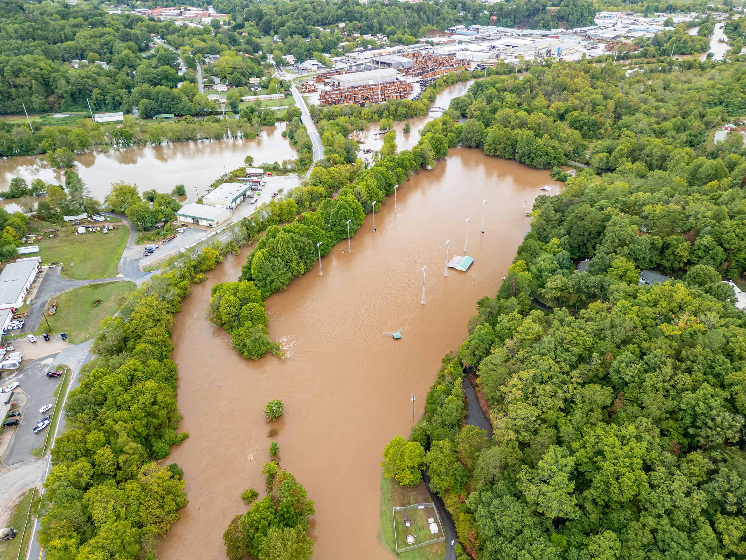
The study by Tulane, which is in New Orleans, does not give a timeline for when the city will be surrounded by the ocean, with Keenan telling NPR that it could be decades or over a century away. The U.S. Geological Survey estimates that land the size of a football field is lost every couple of hours.

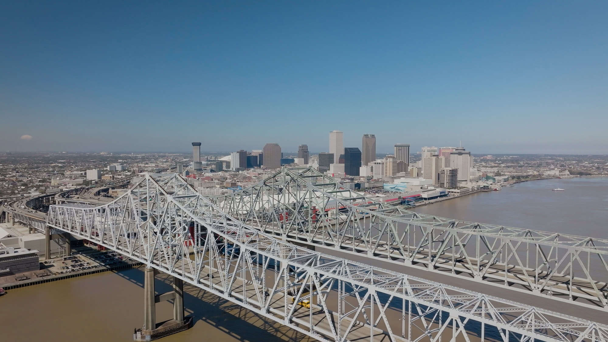
Meanwhile, New Orleans, where some neighborhoods are below sea level, continues to adapt to the challenges of staying dry—and digitalization is increasingly key to those efforts.

Many of the levees and other infrastructure protecting New Orleans were built or reinforced after the catastrophic flooding caused by Hurricane Katrina in 2005, and keeping the system up to date is an urgent task.

Aerial view of a large waterfront structure with green roofs, surrounded by water. Nearby are residential buildings and greenery.
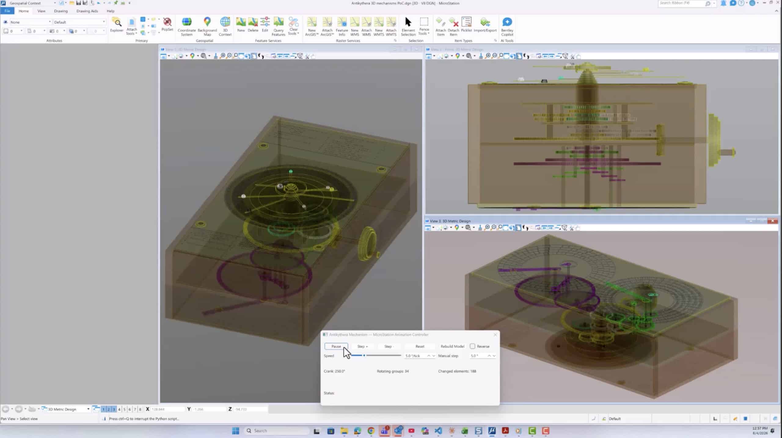
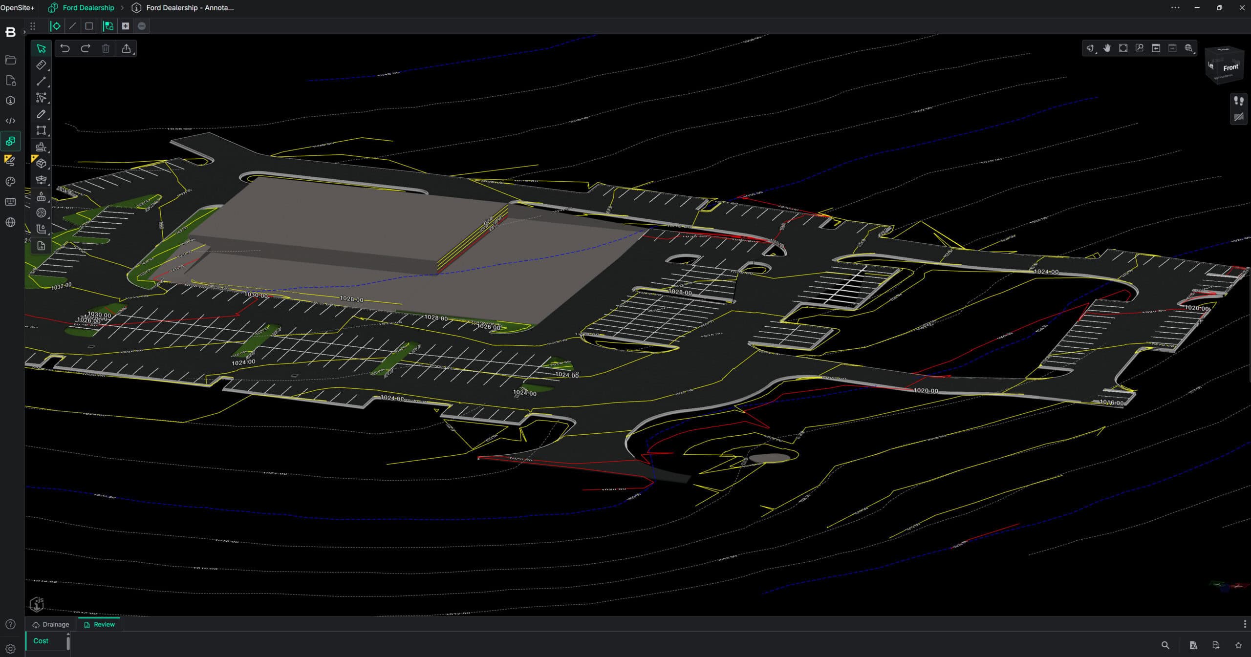
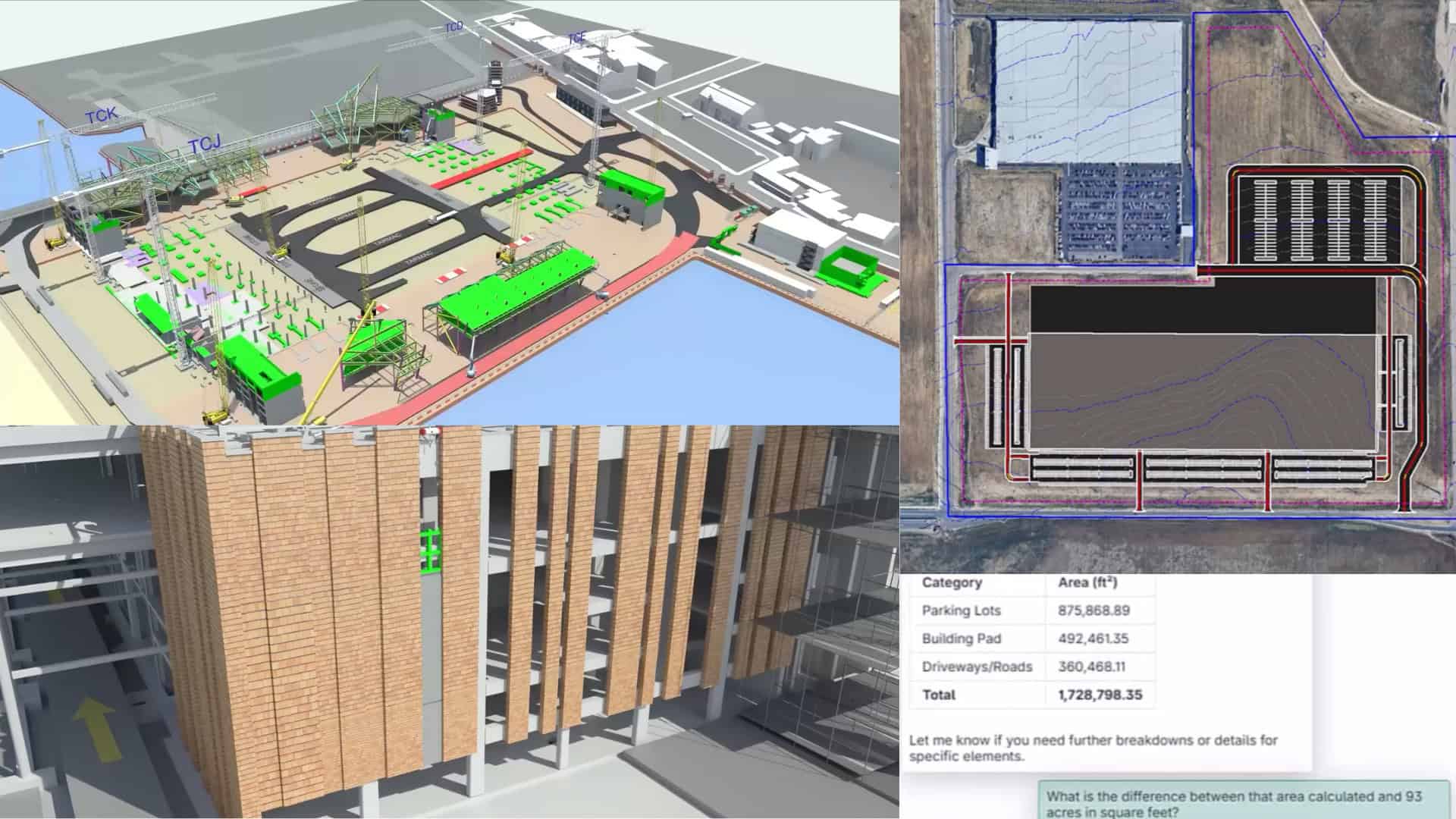
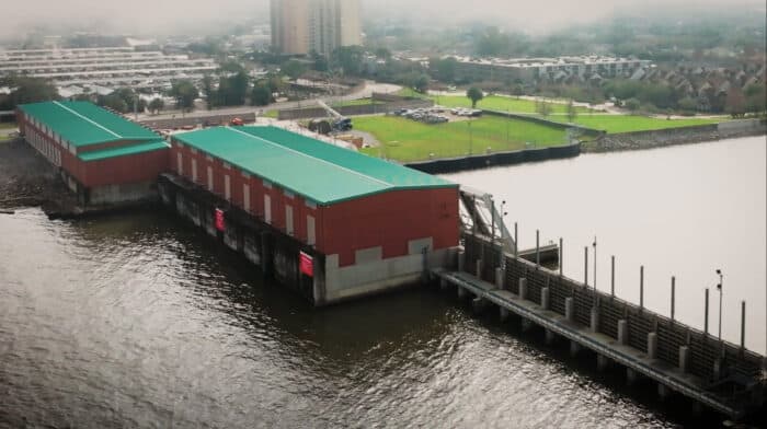
The 17th Street Canal Pump Station is a critical part of New Orleans’ flood control system, helping to prevent flooding during storm events.

One approach involves digitizing the infrastructure to make it smarter and more resilient, says Russell J. ā€œJoeyā€ Coco Jr., CEO of engineering firm Forte & Tablada and co-founder of consultancy Digi-Twin Global. Coco’s firm already built a digital twin of the 17th Canal Pump Station, a critical part of New Orleans’ flood defenses, using Bentley Systems’ software. The project won a Bentley Founders Award last year.

Coco believes that New Orleans must digitize its infrastructure to stay ahead of both the changing climate and the needs of its residents and economy. And the pump station is just the start. He says many more pieces of infrastructure along the Mississippi River could be digitized in the future, a prospect that would help engineers build, maintain, and operate flooding safeguards—and help them make faster decisions.

Louisiana is at the forefront of the digital revolution in infrastructure in other ways, too. Coco was one of the brains behind the digital twin symposium first held last year at Louisiana State University. His alma mater also launched the nation’s first Digital Twin Design and Production Certificate last year, aimed at addressing shortages in digital engineering skills. LSU boasts a unique model of the last 178 miles of the lower Mississippi River, which students use to model sediment flows and simulate flooding conditions.

Coco says digital twin technology is particularly well suited to Louisiana, where large-scale industrial assets, transportation networks, and coastal infrastructure demand continuous monitoring and modernization.

ā€œDigital twins allow us to operate complex systems more intelligently,ā€ Coco told Bentley. ā€œThis program prepares the workforce that will maintain and improve the infrastructure the country depends on.

Relevant Tags

When Tom Walski was growing up in northeast Pennsylvania, air pollution and contaminated water were evident all around. ā€œIt was ...

I’ve lived in Asheville, North Carolina, for nearly 20 years, and each season brings its own charm. Spring is a ...

Digital twins have helped many European cities to build, improve and operate their water infrastructure, contributing to the EU's green ...

Subscribe to The Bentley Brief

Stay ahead of the curve with the latest infrastructure news and insights.