OpenRoads Designer is a comprehensive civil engineering design software by Bentley Systems that offers a robust set of features for the planning, design, construction, and operation of infrastructure projects. It combines traditional CAD capabilities with modern building information modeling (BIM) workflows, enabling engineers to deliver projects with higher accuracy, efficiency, and collaboration. Here, we explore the main capabilities that make OpenRoads Designer an indispensable application for civil infrastructure professionals
Integrated Modeling Environment
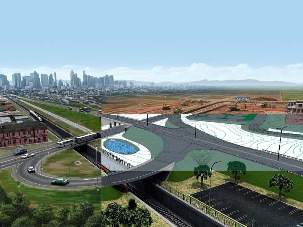
OpenRoads Designer provides an integrated modeling environment that supports various aspects of civil design, including roadways, intersections, roundabouts, drainage, and utilities. This integration ensures that all elements of a project are seamlessly connected, reducing the likelihood of errors and enhancing design consistency.
Comprehensive Geometric Design Capabilities
The software offers advanced geometric design capabilities that cater to the needs of transportation engineers. Key features include:
- Horizontal and vertical alignments: Precise control over road alignments, including support for complex geometries and transitions.
- Cross-section templates: Customizable templates for creating cross-sections that conform to project specifications.
- Superelevation design: Automated superelevation calculations to ensure safety and comfort in roadway curves.
Terrain Modeling and Analysis
OpenRoads Designer excels in terrain modeling and analysis, allowing engineers to create detailed digital terrain models from various data sources, such as LiDAR, survey data, and GIS (geographic information systems). Key capabilities include:
- Surface creation and editing: Features for creating, modifying, and analyzing terrain surfaces.
- Earthwork calculations: Automated cut-and-fill calculations to optimize material usage and project costs.
- Contour generation: Dynamic contour generation for visualizing terrain changes and design impacts.

Hydraulics and Hydrology
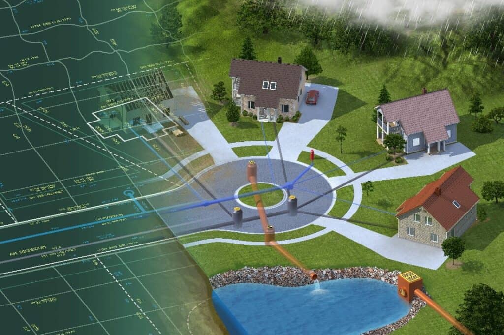
The software integrates powerful hydraulics and hydrology capabilities, essential for designing effective drainage systems and managing water resources. Features include:
- Stormwater design: Comprehensive capabilities for designing stormwater conveyance systems, including inlets, pipes, and detention basins.
- Flood modeling: Capabilities for simulating flood events and analyzing their impact on infrastructure.
- Culvert and channel Design: Specialized capabilities for designing and analyzing culverts and open channels.
Visualization and Analysis
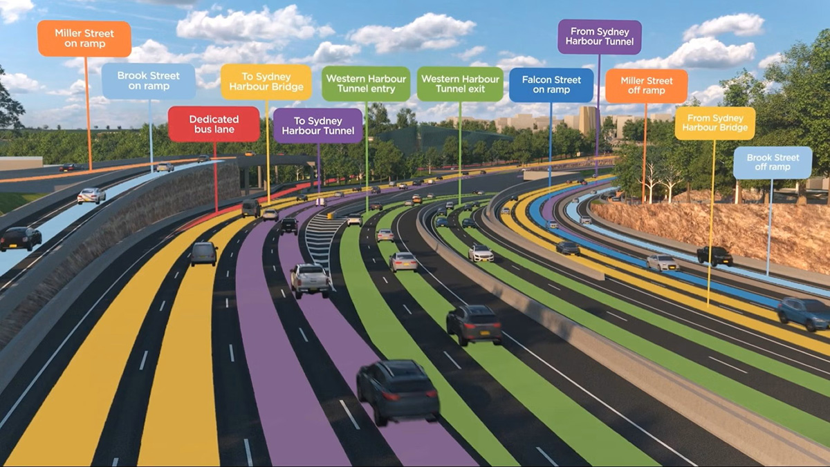
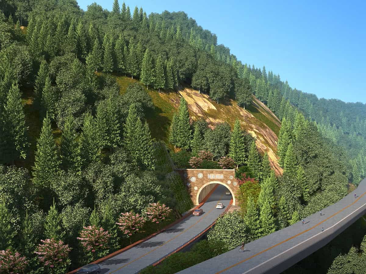
OpenRoads Designer enhances project visualization and analysis, enabling stakeholders to better understand and evaluate design proposals. Key features include:
- 3D visualization: Realistic 3D modeling and rendering to visualize the completed project in its real-world context.
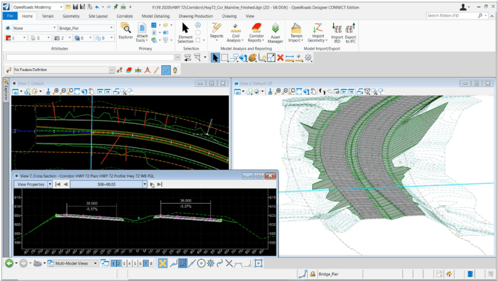
- Dynamic cross-section views: Interactive cross-section views that update in real time as the design evolves.
- Animation and simulation: Capabilities for creating animations and simulations to illustrate design concepts and construction sequences.

Collaboration and Data Management
Effective collaboration and data management are crucial for the success of any infrastructure project. OpenRoads Designer supports these needs with:
- Version control: Robust version control to track design changes and maintain project integrity.
- Interoperability: Compatibility with various data formats and other Bentley applications, ensuring smooth data exchange and workflow integration.
- iModel integration: Seamless integration with Bentley’s iModel technology for improved data sharing and collaboration across project teams.

Construction Documentation
OpenRoads Designer streamlines the production of construction documentation, a critical phase in the project lifecycle. Capabilities include:
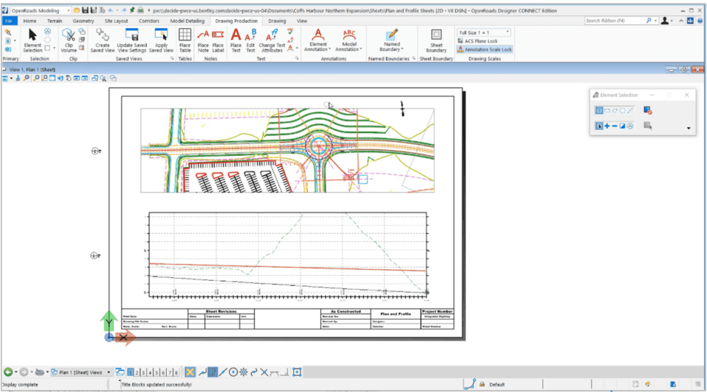
- Automated plan production: Generation of detailed plan sets, including alignment sheets, cross-sections, and profiles.
- Quantity takeoff: Accurate quantity calculations for materials, ensuring precise cost estimation and budgeting.
- Construction sequencing: Capabilities for planning and visualizing construction phases, enhancing project management and execution.
The Benefits of Using OpenRoads Designer in BIM Workflows
OpenRoads Designer is more than just a design application–it is a comprehensive solution that brings the power of BIM to civil infrastructure projects. By enhancing collaboration, improving accuracy, and supporting the entire project lifecycle, OpenRoads Designer enables engineers and designers to create better, more sustainable infrastructure that meets the demands of the modern world. As BIM continues to evolve, applications such as OpenRoads Designer will remain at the forefront of this transformation, driving innovation and excellence in civil engineering.
- Improved efficiency: By automating many design and documentation tasks, OpenRoads Designer significantly reduces the time and effort required to complete projects.
- Enhanced accuracy: The integration of accurate data and the ability to simulate real-world conditions lead to more precise and reliable designs.
- Better communication: The collaborative nature of BIM, supported by OpenRoads Designer, ensures that all stakeholders are on the same page, reducing misunderstandings and errors.
- Cost savings: The efficiency gains and reduction in rework translate into substantial cost savings over a project’s life.
- Sustainability: The ability to analyze and optimize designs for environmental impact helps in creating more sustainable infrastructure solutions.
OpenRoads Designer stands out as a versatile and powerful application for civil infrastructure design, offering a comprehensive suite of features that address the full spectrum of project needs. From geometric design and terrain modeling to hydrology, visualization, and collaboration, OpenRoads Designer equips engineers with the capabilities to deliver high-quality, efficient, and sustainable infrastructure projects. By leveraging these capabilities, engineers can meet the demands of today’s complex projects and drive innovation and excellence in civil engineering.