Greg Demchak stood before an enormous LED screen in a dark hotel conference room. With a game controller and a keyboard, he moved his audience through a digital model of Barcelona. The glowing screen showed a bird’s-eye view of the Spanish city’s famed “manzanas,” the octagonal block of buildings designed by the visionary 19th century urban planner Ildefons Cerda. Demchak zoomed in on a new construction site in the historic area, navigating the planned building’s future rooms and corridors as if they already existed. He explored design features, assessed how the project fit into the city’s historic grid, and even peered at underground infrastructure beneath the foundation—all without setting foot on site.
This wasn’t a sci-fi simulation. It was a sneak peek into a bold new open platform for displaying infrastructure digital twins. The new advanced visualization solution was developed by Bentley Systems, the infrastructure engineering software company, and merges real-time renderings with geospatial data, engineering details and other information to give users a fully interactive view of their projects. “When people see what’s possible, they’re floored,” Demchak, Bentley’s vice president for emerging technologies, says as he toggles between underground utilities and panoramic cityscapes. “This is the future of infrastructure design—connected, real-time, interactive, and immersive.”
Absolutely fabulous
Unlike traditional file-based systems, this new solution uses open architecture to handle vast amounts of data in the cloud. It creates a single immersive experience by seamlessly integrating building information modeling (BIM), geospatial data, point clouds and photogrammetry, which uses photos to create 3D models. Users can engage with their projects at any stage—from planning to construction to maintenance—transforming how infrastructure is designed and managed.
Imagine this: With the press of a button, you place your infrastructure project—no matter how complex—into a perfectly simulated, geospatially accurate version of the real world. Your buildings, pipelines or road networks are seamlessly integrated with photorealistic landscapes, letting you explore every detail, from the tops of skyscrapers to underground utilities. It’s like being on-site, making decisions with confidence and clarity.
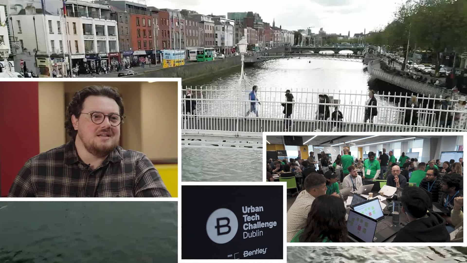
“It’s absolutely amazing,” says Jamie Cudden, smart city program manager with the Dublin City Council in Ireland. He watched Demchak’s demo during the 20th annual Year in Infrastructure and Going Digital Awards, an event sponsored by Bentley that drew hundreds of professionals from around the world.
“I’m super excited about the potential of this for cities like Dublin,” Cudden said. “How we can engage with our citizens, how we can look at new plans for the city is going to make a huge difference for what we can do in terms of infrastructure and planning.”
Demchak is equally excited about the technology. “We’ve combined the latest real-time rendering tech like Unreal Engine with the power of digital twins and geospatial data, creating something that’s both incredibly powerful and easy to use,” he says. “People’s jaws drop when they realize how much they can achieve with just a few clicks.”
Secret sauce
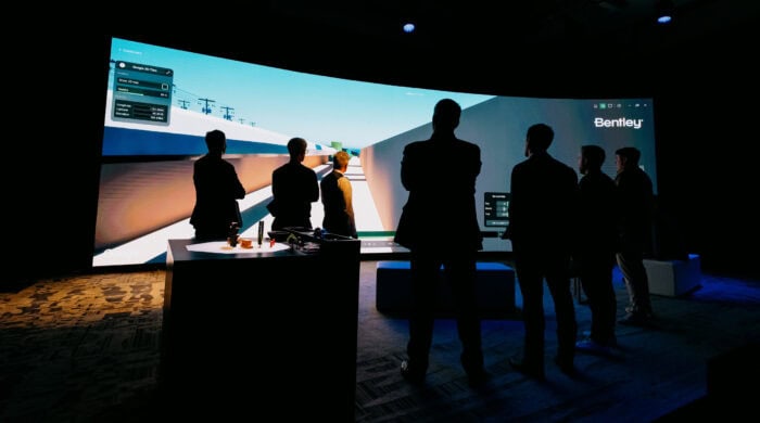 Attendees experience an immersive video at the iLab exhibit during the 2024 Year in Infrastructure event in Vancouver.
Demchak and his team at Bentley’s Innovation Lab, or iLab, unveiled this new solution in early October during the company’s annual Year in Infrastructure and Going Digital Awards event in Vancouver, Canada. The technology is being made available to early-access users, who can sign up now, and is anticipated to go live in 2025. Anyone with an infrastructure digital twin hosted on Bentley’s iTwin platform will be able to use the technology—whether for a single building, a campus, a road network or an enormous infrastructure project like HS2, the high-speed rail network in the U.K.
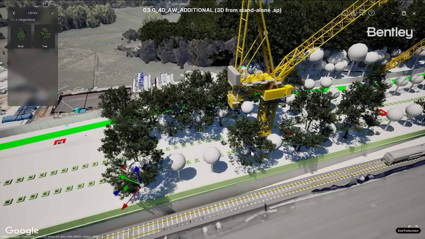
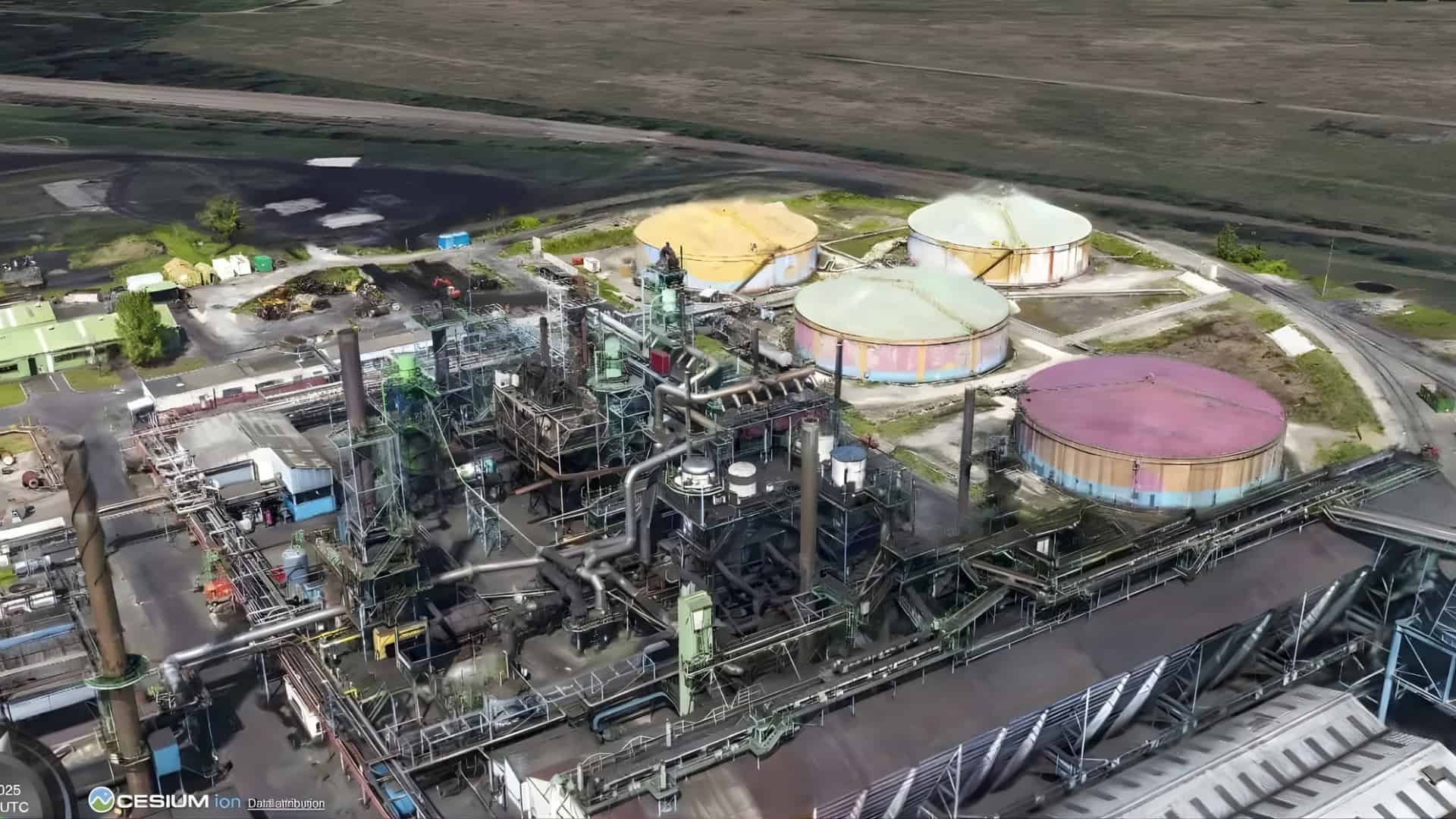
The solution’s secret sauce is Bentley’s acquisition of Cesium, the 3D geospatial company, and its new partnership with Google. By combining Google’s 3D Tiles with Unreal Engine via Cesium, the solution delivers truly immersive experiences. “We got two for one,” Demchak says with a smile. “Users can open the solution, click to enable Google’s Photorealistic 3D Tiles, and they stream in through Cesium, while we also use Cesium 3D Tiles to stream in complex engineering models perfectly geospatially aligned within the Google 3D terrain.”
This use of Cesium 3D Tiles allows iTwin users to place their designs into real-world geospatial contexts, making them both functional and visually compelling. In Vancouver, two winners of Bentley’s Going Digital Awards tried the technology by uploading their projects—a bridge over the Mississippi River in the U.S. and a rail electrification project in England—into the solution. The results drew oohs and aahs from the crowd. Yael Maguire, vice president of geo at Google, said the 3D Tiles “can transform workflows for architects, engineers and urban planners, [and] dramatically improve how infrastructure is designed, built and operated with data.”
Bentley built the solution with a software development kit (SDK) that is now openly available on GitHub. Developers can use it to build custom solutions for their own needs. “Developers, customers and agencies can create their own interface, build their own story and present their content in their own way,” Demchak says.
“The future of our industry”
Balfour Beatty Vinci is a good example. The construction services company uses Bentley’s iTwin platform, and its engineers used the SDK to develop a customized experience—a fly-through of Birmingham, England. The model showcases different sections of the HS2 high-speed rail project, with traffic animations, asset information and interactive navigation.
Along with making projects look great, the visualization changes how complex engineering projects are managed. “This is the future of our industry, without a doubt,” says Jeffrey Campbell, director of virtual planning at Project Controls Cubed (PC3). The company used Bentley’s suite of software to manage the $1 billion upgrade to the EchoWater wastewater treatment plant in Sacramento, California, which finished $400 million under budget. PC3 also worked closely with Bentley on the solution’s development. Campbell and Demchak have collaborated and innovated together for over a decade.
Campbell emphasizes that the solution’s situational awareness significantly improves project management. “With this solution, we can make proactive decisions before issues become costly and time-consuming,” he says. PC3 is now using Bentley’s new advanced visualization to manage the build of the $500 million Bull Run Water Filtration Plant in Portland, Oregon, integrating 20 miles (32 kilometers) of high-resolution Cesium 3D Tiles alongside the engineering data. “The visualization consolidates all that data into a digital twin that’s consumable not just by professionals like me, but by all stakeholders—and that’s key for the next generation of infrastructure,” Campbell says.
An eye on AI
Anyone using Bentley’s iTwin platform for infrastructure digital twins can use the solution to explore and present their designs in real-world, geospatial environments. Demchak, who hails from an architecture and product design background, emphasized usability and design. The technology’s intuitive interface makes it accessible to professionals across industries, from urban planners and construction managers to the general public. “My team has a remit to deliver high-quality user experiences, and we’ve created that with this solution,” Demchak says.
Technology is set to become even more dynamic and realistic in the future. For example, AI-driven features like generative models for simulating people and vehicles can enhance the realism of visualizations. Users will also have the option to layer in real-time internet-of-things (IoT) sensor data—such as wind speeds, rainfall or traffic patterns—tailoring their digital twin to their unique needs. Together, these AI enhancements and data options will make infrastructure visualization more immersive and data-rich than ever before.
Bentley is bringing infrastructure to life in ways once unimaginable, seamlessly merging data and reality into intuitive, immersive environments. While nothing can fully replace the real thing, by blending real-time data, immersive visuals and upcoming AI-driven capabilities, Bentley’s tools are redefining how we interact with the built world. But don’t take our word for it—seeing is believing.
