In March 2024, a huge container ship lost power as it navigated out of Baltimore Harbor. The 100,000-ton vessel veered off course and crashed into the Francis Scott Key Bridge. The collision claimed the lives of six construction workers who were performing maintenance on the bridge. It also shut down port operations and severed a vital traffic artery.
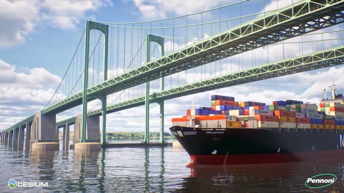
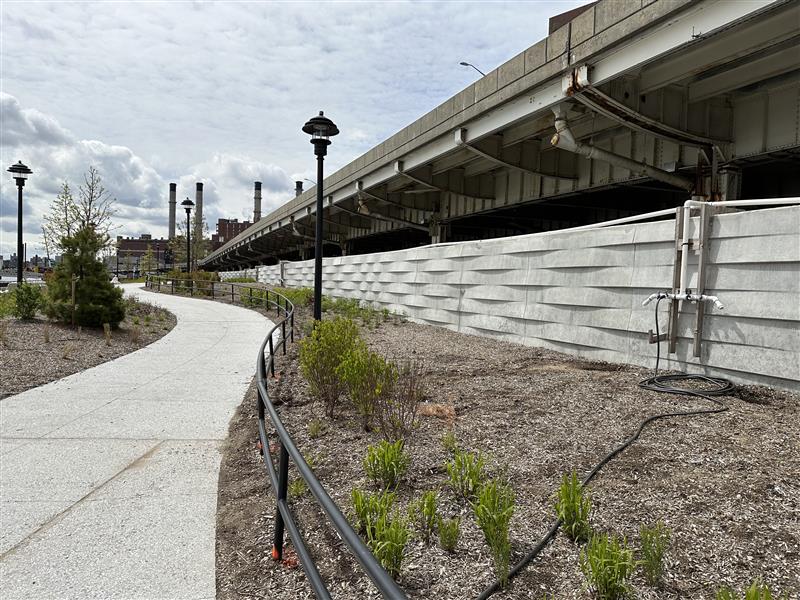
The tragedy highlighted the need for more resilient infrastructure, an issue that has been on the radar of government agencies and infrastructure operators across the country, includingthe Delaware River and Bay Authority (DRBA). Starting in 2023, DRBA began installing an advanced collision protection system for the Delaware Memorial Bridge. The work involves eight massive, stone-filled “dolphin” cylinders, each 80 feet across, designed to shield the bridge’s towers. The visionary project also includes a digital twin.
Digital twins are detailed virtual models of physical assets, such as bridges, water systems or even entire cities. The models unlock insights, improve collaboration and add other benefits across the lifespan of the asset — from planning and design to construction and asset operation. The digital twin of the Delaware Memorial Bridge work was created by the Philadelphia-based engineering consulting firm Pennoni. The model has allowed stakeholders to see details of the bridge’s safety features before construction is completed, which is scheduled for 2025.
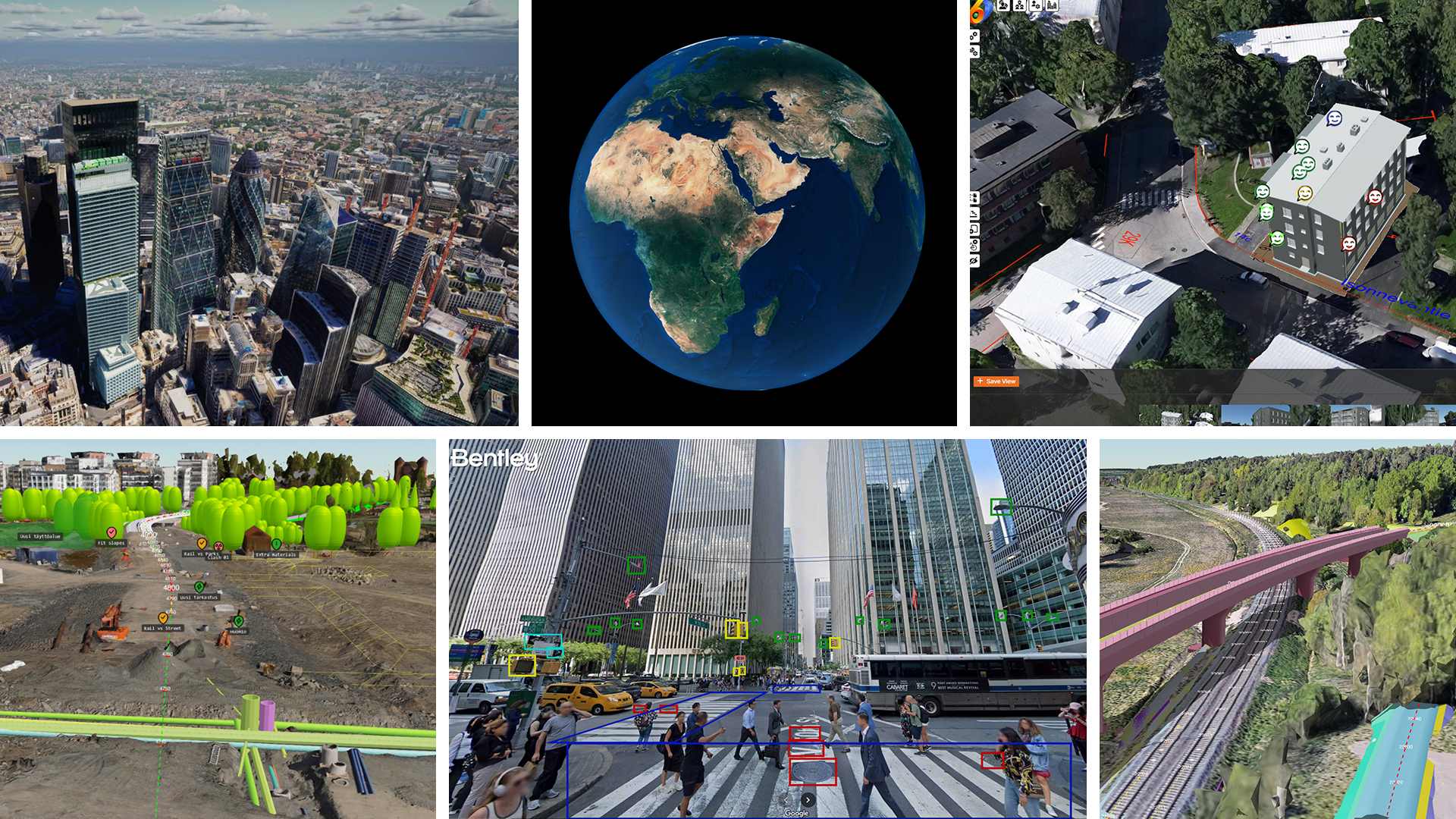
Pennoni’s visualization harnesses the power of 3D Tiles, an Open Geospatial Consortium (OGC) community standard created by Cesium, the 3D geospatial company. The 3D Tiles standard has emerged as a transformative technology for the infrastructure sector and other fields. By ingesting and rendering vast amounts of 3D geospatial data, 3D Tiles enable high-fidelity and intuitive visualization of real-world environments, especially when combined with Google’s expansive geospatial data.
For example, Pennoni is using information from Google Maps, in the form of Google Photorealistic 3D Tiles, and the power of Cesium for Unreal, a plugin which taps the cutting-edge capabilities and renderings produced by the creation engine Unreal Engine. “Rather than waiting years for a project to be completed, and then capture and post photos, we can show visualizations immediately, in present day,” Joe Spadea, associate vice president at Pennoni, told Cesium’s blog.
Balancing act
The infrastructure sector is under pressure to make roads, bridges and other critical infrastructure more resilient and sustainable. With examples like the Delaware Memorial Bridge, it’s no surprise that the shift to real-time, hyper-realistic visualization is becoming essential. “It’s a constant balance of quality, budget and time. Cesium allows us some flexibility of budget and time,” said Tim Timmons, senior design visualization specialist at Pennoni.
The shift explains the rationale behind the recent acquisition of Cesium by Bentley Systems, the infrastructure engineering software company. It also illustrates the reasons for Bentley’s new strategic partnership with Google announced this week at the 2024 Year in Infrastructure and Going Digital Awards. The annual Bentley event took place Oct. 8-9 in Vancouver, Canada.
Context is king
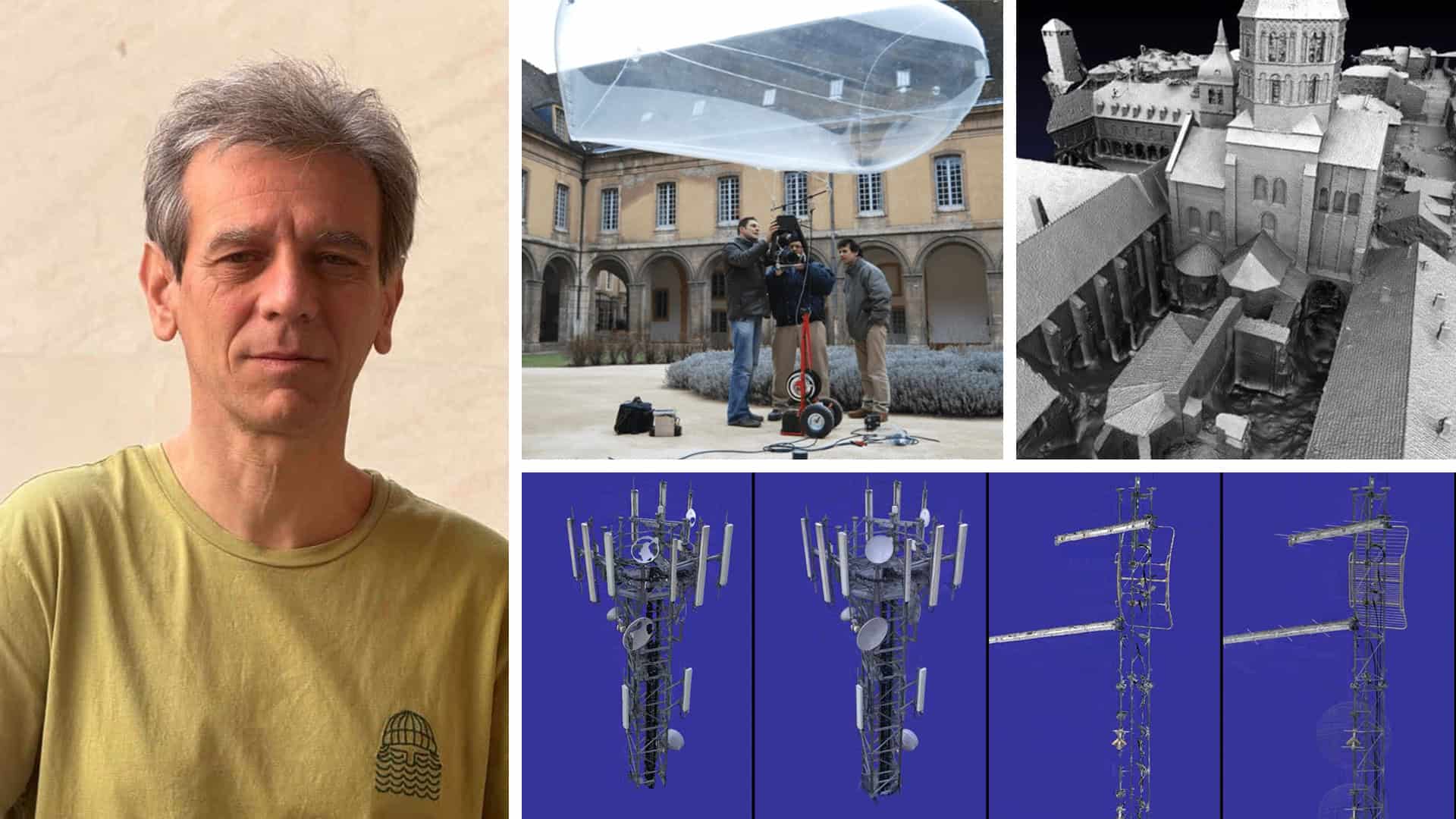
Being part of Bentley, Cesium adds more context to each step of the design process and gives developers a clearer understanding of what their decisions will mean in the real world. “With so much data available —whether it’s satellite imagery, LiDAR or more — 3D tiling captures the entire context, making it easier to store, share and drill down into specific details,” Kurke said.
The importance of open standards
Bentley has also deepened its engagement and invested more money with the Open Geospatial Consortium, the 30-year-old standards body dedicated to ensuring Geographic Information System (GIS) data and geospatial tools remain open and accessible.
The adoption of Cesium’s 3D Tiles as an official OGC standard was a pivotal moment, ensuring that Cesium’s innovations could be used across various platforms without getting locked up behind the wall of a propriety system or a vendor. Kurke says OGC’s mission to prevent proprietary lock-ins and encourage data interoperability aligns perfectly with Bentley’s commitment to open standards. Google’s geospatial data also adheres to OGC’s principles of open access, which further enables integration with Bentley’s tools.
Into the great wide open
Infrastructure engineering firms, governments, financial institutions and other stakeholders are increasingly demanding smarter, more connected tools that allow them to design, build and operate critical infrastructure. Kurke says the need for open standards has never been greater and Bentley is charting a way to a future where infrastructure solutions are open, interoperable, scalable and flexible.
“Closed, proprietary ecosystems limit innovation and create long-term challenges in terms of data accessibility and tool interoperability,” Kurke said. “It’s never just a road; never just a bridge. Every infrastructure project is multidisciplinary. That’s how the world works. It’s essential that we remain interoperable so that all the parts can complement each other. We’re at a once-in-a-generation opportunity for the infrastructure industry to choose a path toward openness and adaptability.”
Ultimately, this new era of software will be shaped by the choices of the developers and stakeholders who build and maintain critical infrastructure like the Delaware Memorial Bridge. The future, as always, will depend on our decisions today.
