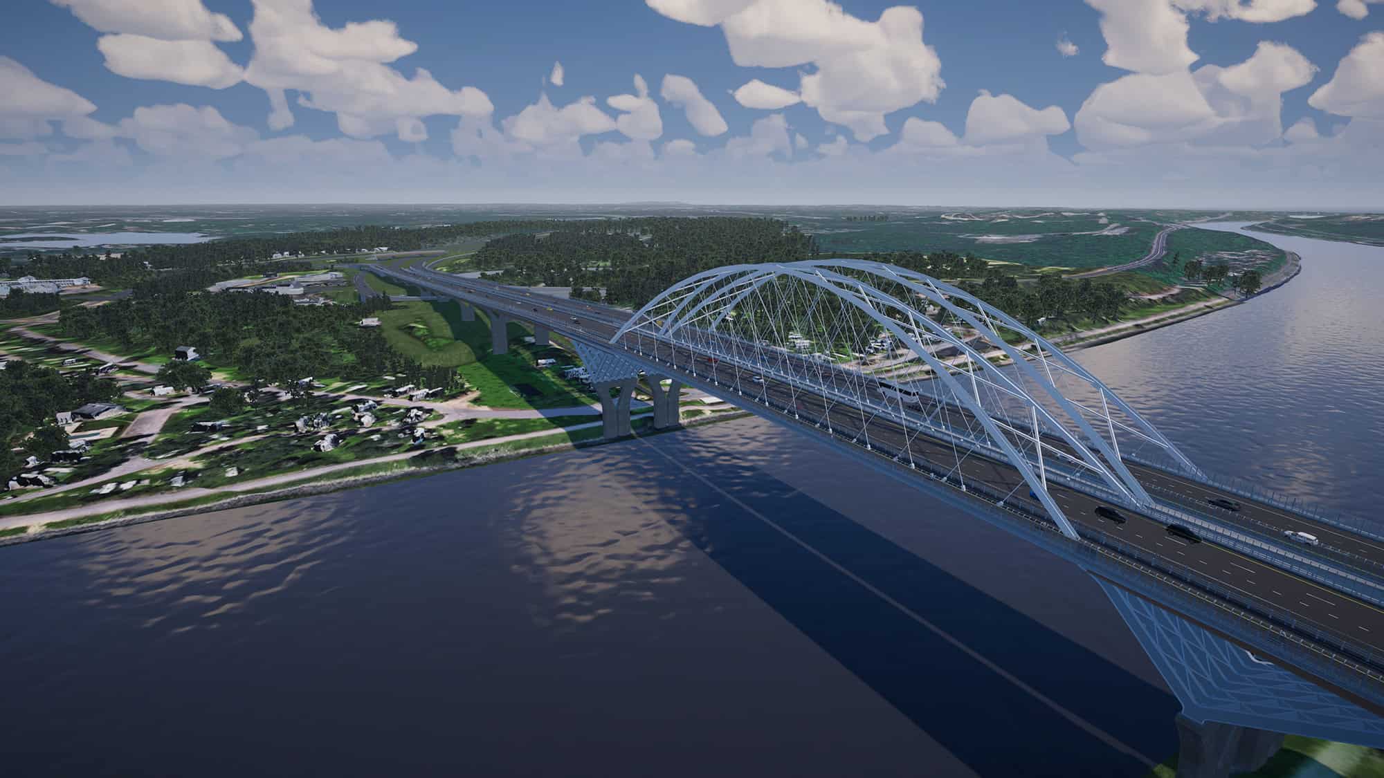
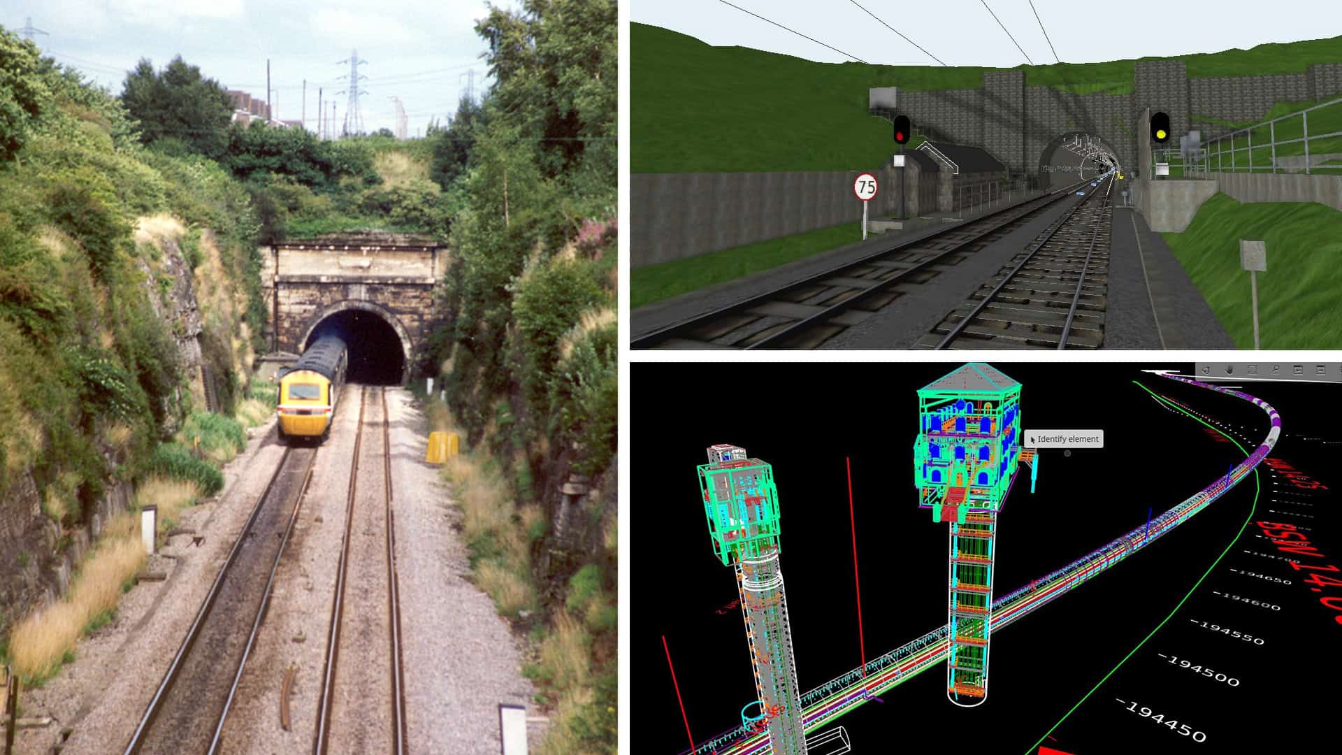
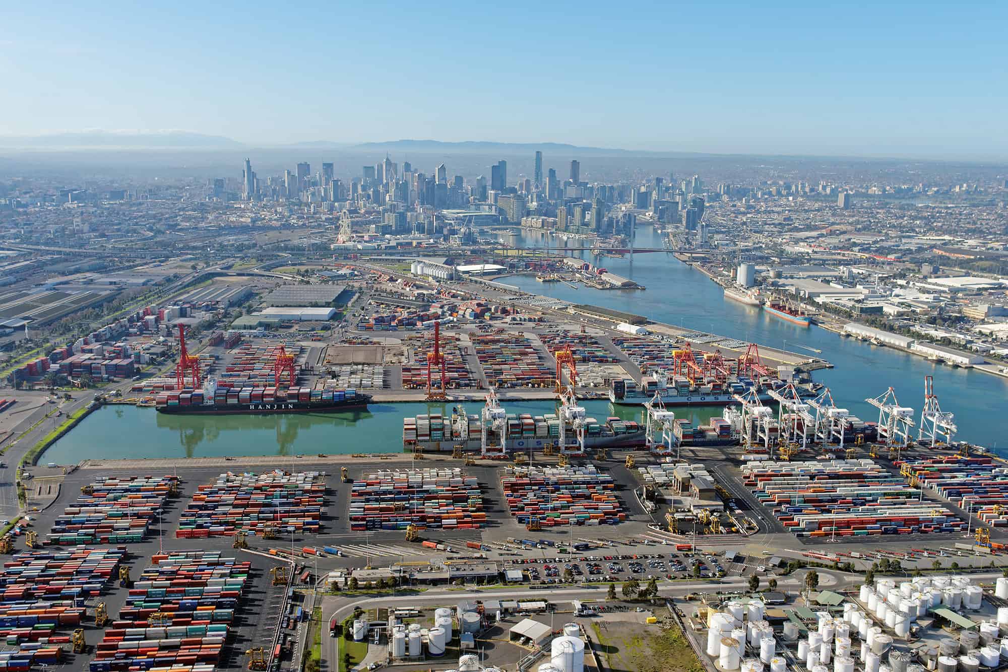
In July 2022, Ben Shinabery watched the news with growing unease as a deluge of rain—up to 16 inches in some areas—drenched eastern Kentucky and unleashed catastrophic flooding. Swollen creeks and rivers surged through narrow Appalachian valleys, sweeping away homes, ripping out roads, and knocking down bridges.
But as the death toll mounted, eventually reaching over 40 lives, Shinabery knew he had the skills to do more than just follow the news. He lives just a few hours west of the devastation, in Louisville, Kentucky, and he works as a land surveyor. That profession has been part of his life since he was a boy in Michigan, riding with his dad in the bed of their blue Dodge pickup truck to collect road coordinates. “My mom just wanted to send us out of the house,” he reminisces with a chuckle.
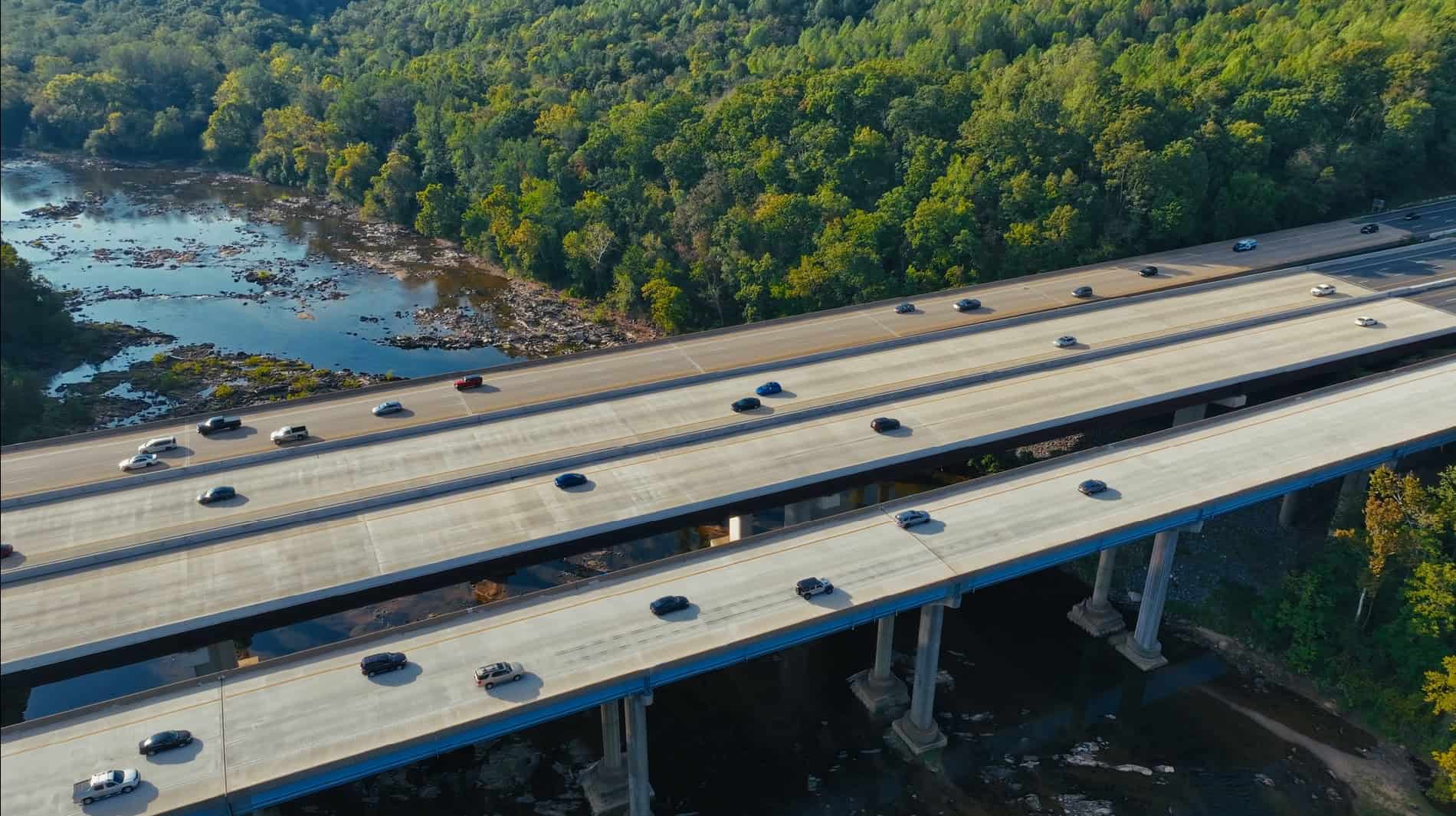
For the past four years, his company, Qk4, a Louisville civil engineering firm, had been involved in Bridging Kentucky, a state program to repair or replace 1,000 aging bridges. Qk4 had employed drones, laser technology, and digital twin software to survey and map the state’s bridges. When the flood struck in 2022, these tools and experience enabled Shinabery, a land survey director, and his team to move fast and with proficiency.
Coordinating with the Kentucky Transportation Cabinet, he and his colleagues quickly mobilized, sending field survey crews to assess the damage to bridges. Often working alongside first responders, government agencies, volunteers, and other firms who joined the massive rescue and recovery effort, the crews had to navigate washed-out roads, mud, and debris as they got closer to the mountains. “Many of the houses and roads in those areas were covered in 20 feet of water,” Shinabery says. “The situation was so dire that people would cut down trees and make their own makeshift bridges to cross the creek just to be able to access the other side.”
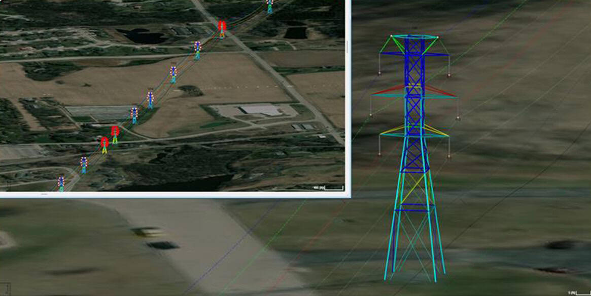
The Qk4 survey crews, equipped with drones, 3D laser scanners, and robotic measuring tools, collected millions of data points by day and fed it into digital modeling software called ProjectWise, developed by engineers at Bentley Systems, a leader in digital twins for infrastructure. The software produced precise virtual replicas of bridges, accurate down to the rivet, proving crucial in speeding the rebuilding effort. “We loaded the data into the computer in the evening and let it analyze the data and build the digital twin,” Shinabery says. “It was ready for us in a couple of hours.”
Just a few years ago, it took Shinabery’s teams two to three months to survey a bridge. Credit the Bridging Kentucky initiative for the quick turnaround. It had allowed his team to adopt and hone their skills on the Bentley technology and advanced surveying equipment.
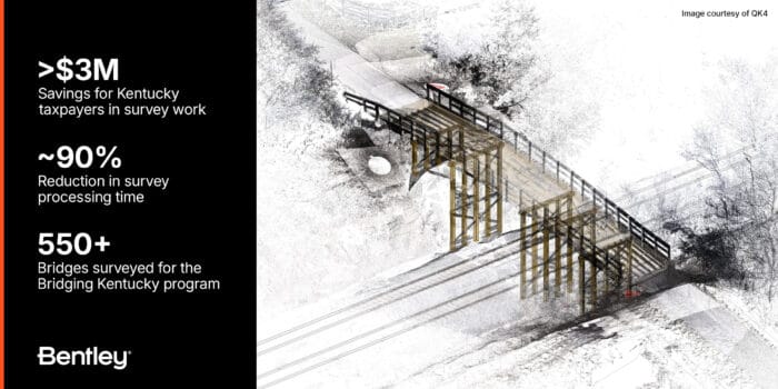 Bridging Kentucky highlights: Over $3M in taxpayer savings, ~90% survey processing time reduction, and 550+ bridges surveyed for the program.
All told, Qk4 used Bentley software to build intelligent digital twins of more than 50 bridges that were damaged or destroyed in the flooding. Engineers at the global engineering firm Stantec and others then analyzed these digital models to assess the state of the bridges in minute detail, allowing them to start planning repairs of bridges that could be saved or building replacements for those destroyed. “We had people from all over at remote locations working on this project around the clock,” recalls Heather Lawler, a principal at Stantec. “From an engineering standpoint, having the digital twin is like being there. It’s a definitive source of information.”
Arriving in the area a week after the flood, Lawler was shocked at the scale of the destruction. “We tried to be prepared for anything; we packed a cooler with drinks and food because we didn’t know what stores and gas stations would be open,” she says. “But we weren’t prepared for what we were seeing. As we got closer to the bridges, you could tell that the situation was pretty catastrophic.”
At one remote site, where half a bridge had been washed away, “There was a man down in the rubble, digging around, trying to put his water line back,” she remembers. “It was a family cluster, there were three or four homes—his elderly father was up there, along with some nephews.”
The family made their way over the ruined crossing to carry groceries back and forth but remained deeply concerned about emergencies. “They were worried—what if an ambulance was ever needed?” Lawler says.
When she told the man that her engineers could build a temporary diversion within two weeks, “He was just over the moon,” Lawler says. “He couldn’t believe they’d have a way to access their homes so soon. He thought for sure it’d be like six months.”
But temporary fixes were just the first step. Kentucky used the recovery efforts to construct bridges that would be stronger and more resilient to natural disasters. “We were rebuilding bridges that will last 75 years, can carry a tractor and a school bus, and have openings underneath wide enough so a tree doesn’t get stuck there and the bridge doesn’t get carried away,” Shinabery says.
The Kentucky disaster is not unique, of course, as recent catastrophic floods in Asheville, North Carolina, and Valencia, Spain, can attest. Technologies like digital twins can help the world prepare effectively for the next event. Qk4 has used digital twins to visualize data for 550 bridges in Kentucky alone. The tech allowed Shinabery and his team to work faster and more frugally. “With the modern technology and land surveying and the Bentley software, we cut the cost in half and the time by almost 90%,” he says. The firm uses the software and lessons learned for projects in other states and several Native American Nations across the U.S.
He adds: “It’s such an exciting time now, compared to when I was with my father on the back of our pickup truck, and we were using pencil and paper.”

