On the night before Christmas, children around the world will hang their stockings with care, in hopes that St. Nicholas soon will be there. But if they’re a bit impatient they’ve always got an option: They can track Santa’s real-time progress through the starry skies in smooth, seamless and stunning 3D. For the 12th consecutive year, Cesium, the foundational open platform for creating powerful 3D geospatial applications that is now part of Bentley Systems, has partnered with North American Aerospace Defense Command (NORAD) on its legendary Santa Tracker program.
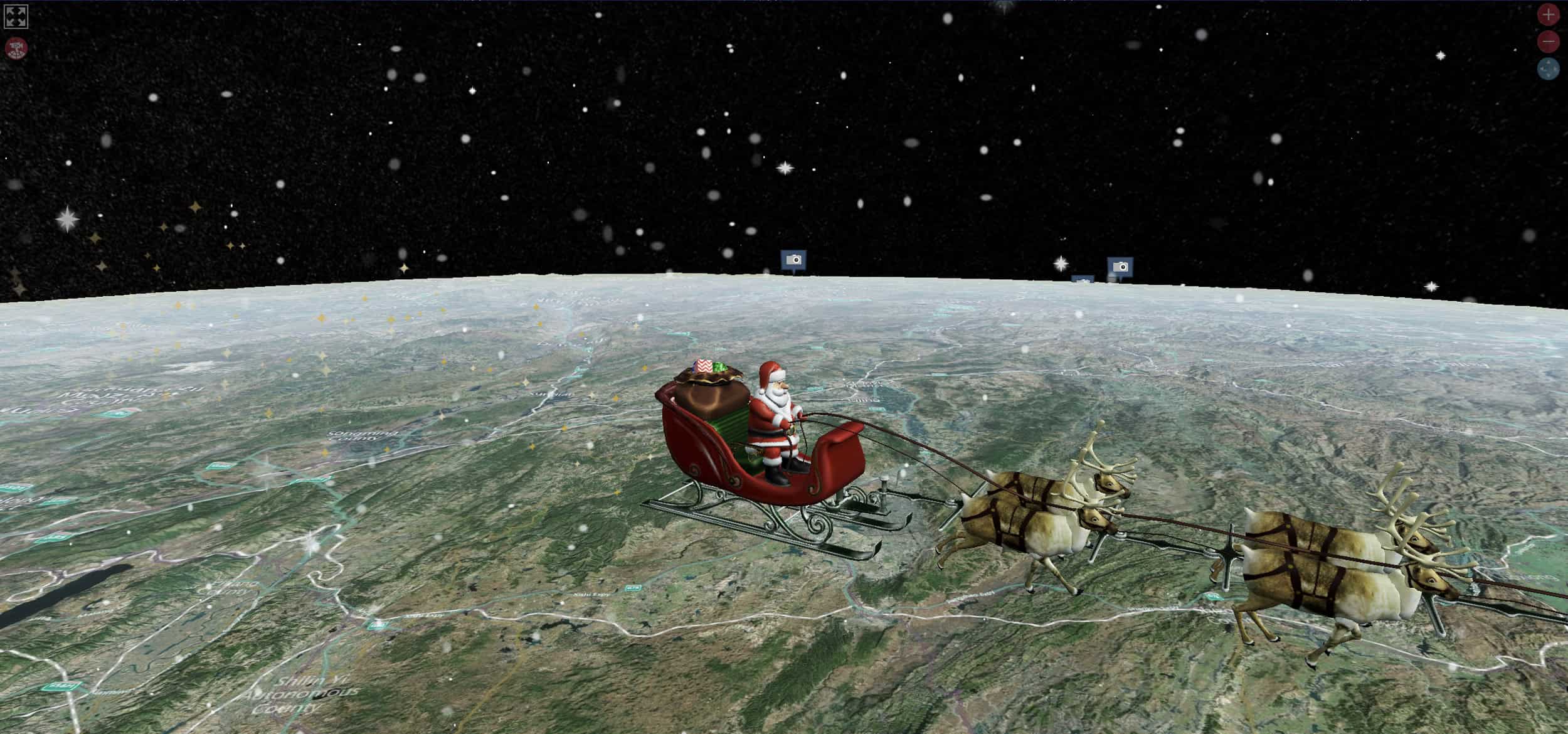
Launching the NORAD Tracks Santa simulation, which begins at midnight on December 24, will unveil a miniature 3D model of the jolly elf and his reindeer squad flying on the edge of space. The crew will be high enough to see the slight curves of the Earth, but low enough to watch the sumptuous 3D satellite images gently unspooling beneath him.
 On Christmas Eve, children can follow Santa Claus’s journey around the world with NORAD Tracks Santa® built with CesiumJS.
 The simulation is great fun, but there’s a serious amount of cutting-edge technology behind the Christmas magic: CesiumJS, an open-source library that allows users to create dynamic and interactive virtual 3D maps that look like modern video games.
Gabby Getz, Cesium’s senior software engineer, who is working on the sim for the seventh year, explains why CesiumJS is an essential tool in the infrastructure sector. “It brings 3D graphics to the geospatial realm while providing incredible accuracy, which makes it invaluable for people and businesses dealing with use cases involving time-dynamic content, location and precision,” she says. Getz is also the brains behind one of the Santa sim’s coolest features: The magical snowflakes and shimmering sparkles that flutter through the night sky.
Where the magic happens
To build the sim, the Cesium team streamed a “cube map” of the stars, generated from NASA images, into their engine. This virtual box provided a seamless, spangled background for their digital replica of Planet Earth. Next, using data from the Cesium World Terrain tileset, they “molded” the third rock from the sun to recreate its mountains, valleys and plains. To animate this blank relief, the team overlaid satellite images from Bing Maps. Finally, they added geospatial data about Santa’s flight path from NORAD, which has been tracking objects in its airspace since 1958.
There’s a couple of extra sprinklings of magic pixie dust. CesiumJS, which has its roots in the aerospace industry, can calculate the position of the sun based on the current time, which allowed engineers to add shadows to the tracker. There’s astronomical realism, too: As time passes, the engine also gradually moves the star map to align with Earth’s actual position in space. “We’re using the physics of modelling satellite trajectories to ensure that everything is accurate, down to the millisecond,” says Getz.
Even Santa’s animated sleigh is built on glTF, an open standard that supports 3D geometry, which was co-authored by Cesium’s founder, Patrick Cozzi. And watch out for a special fly-by. “One of my favorite parts is calculating the position of the International Space Station orbiting the earth, which Santa visits every year,” says Getz.
It’s all in the detail
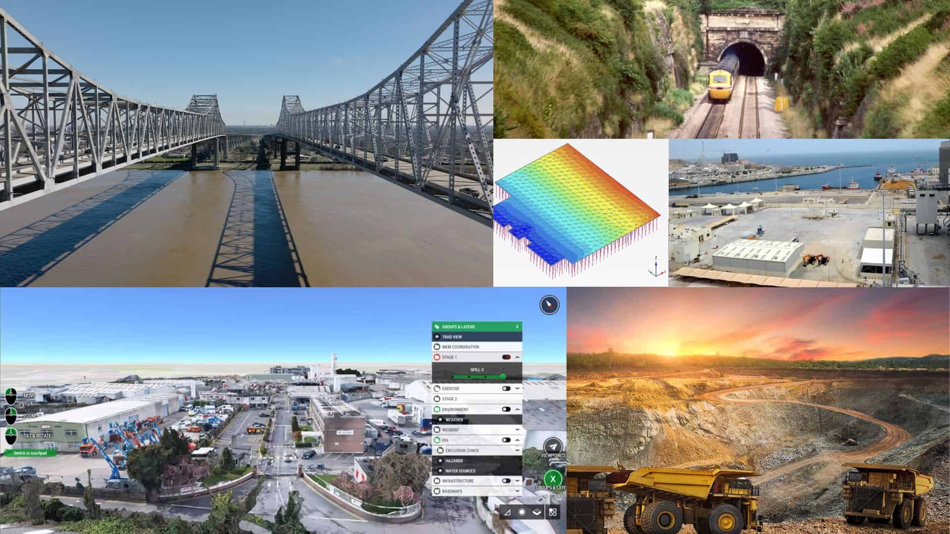
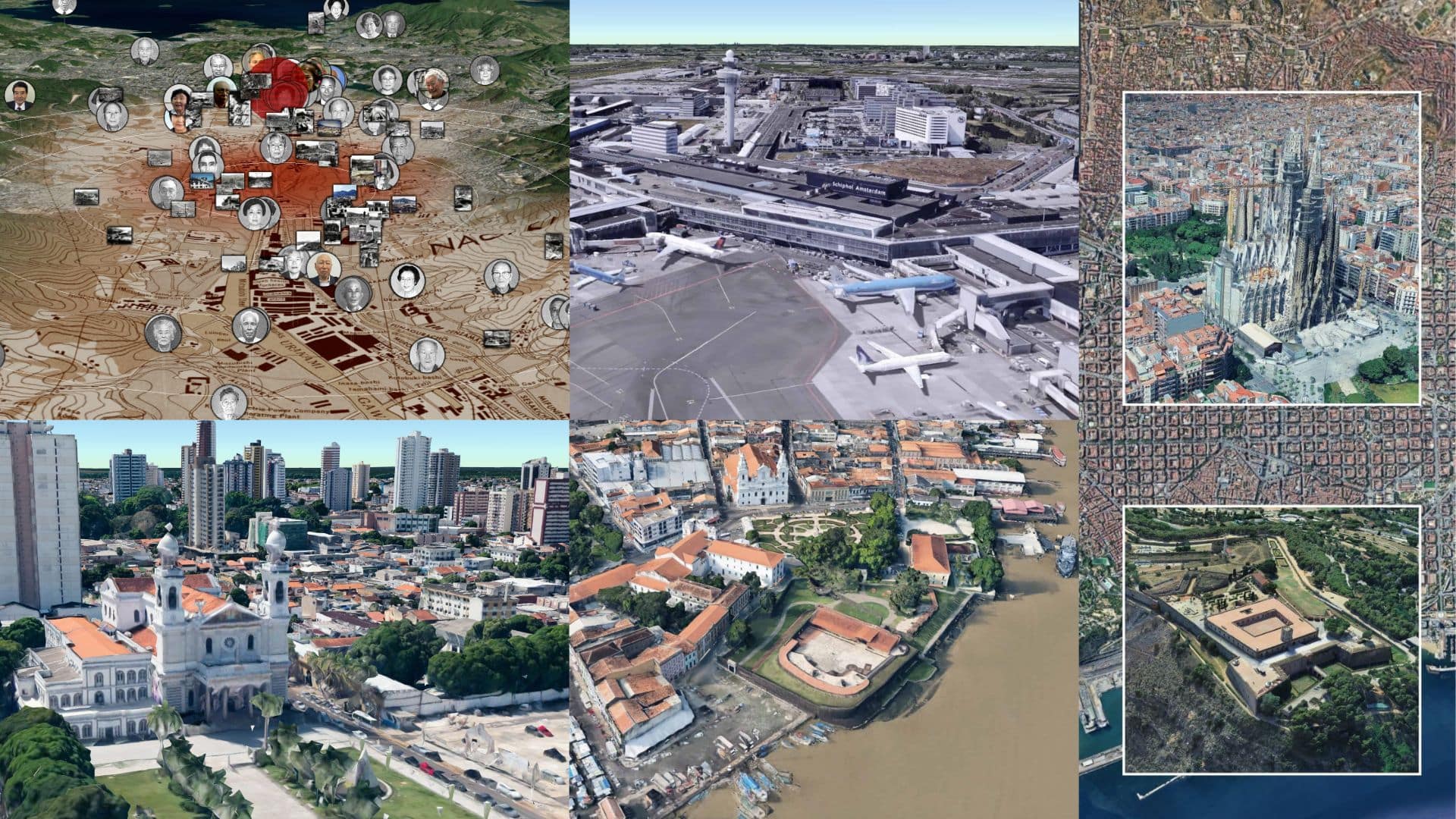
You might wonder how something of such complexity streams so fluidly. Since the simulation can’t load millions of images at once, engineers use a “hierarchical level of detail” technique based on what the user wants to see. Users can pan out to see the whole globe, or zoom through the layers to obtain fine detail, such as an individual building or tree. Bentley Systems is harnessing similar advanced techniques to build its massive-scale digital twins of infrastructure projects and even entire cities.
The tracker is now preparing for launch. Colorado Springs, Colorado-based NORAD is currently coordinating with Santa’s Elf Launch Staff to confirm his take-off time from the International Date Line in the Pacific Ocean, explains Getz. From that moment, his exact path through the skies is anyone’s guess, for only he knows his route. But as children nestle snug in their beds, and visions of sugarplums dance in their heads, Cesium’s team will be on the case.
