Home / Insights and Inspirations Posts / Perspectives / Infrastructure in the Agentic Era: How AI and Open Data Are Shaping the Built Environment

Infrastructure in the Agentic Era: How AI and Open Data Are Shaping the Built Environment

Tom Kurke Profile Image

Tom Kurke

A smiling man in a suit is pictured on the left. On the right, a cityscape at dusk with digital lines and colored nodes overlaid in the sky.

Share

I recently had the pleasure and privilege of sharing my thoughts on AIā€™s role in infrastructure with readers ofĀ AEC Magazine.Ā (Martyn, thank you for the invitation!) In the piece, I explain why the massive amount of data generated during design, construction and operations makes our industryā€”and the infrastructure sector as a wholeā€”ripe for disruption by artificial intelligence (AI). Today, itā€™s clear that AI isnā€™t just a trend: Itā€™s a transformative force reshaping the built environment.

I want to focus on three key points. First, AI has enormous potential in design to automate repetitive tasks like documentation and annotation, which would allow engineers to focus on higher-value work. This is especially important as the industry. faces mounting project demands while grappling with a shortage of engineers.

AI also enables predictive analytics, helping operators detect issues and perform maintenance before failures occur. Youā€™ve likely heard this before: Weā€™re entering theĀ Agentic EraĀ of AI. This transformative chapter will bring systems capable of analyzing digital twins of infrastructure assetsā€”bridges, roads, dams or water networksā€”to identify issues and recommend preventive action, avoiding costly breakdowns or safety hazards. I go into more depth in my piece for AEC Magazine, which covers the architecture, engineering and construction (AEC) industry.

Finally, I want to highlight the immense potentialā€”and valueā€”of open data ecosystems. Youā€™ve heard our CEO, Nicholas Cumins, and our CTO, Julien Moutte, emphasize ā€œopenness.ā€ Open data fosters access to valuable information, breaks down barriers, and enables seamless data sharing across platforms, systems, disciplines, organizations and colleagues.

Open ecosystems ensure secure information flows, nurture collaboration, prevent vendor lock-in, and preserve context and meaning. Ultimately, these ecosystems enable AI tools and analysis to reach their full potential across the entire infrastructure lifecycle.

Open ecosystems have also been part of my recent discussion with Patrick Cozzi, the founder of Cesium and Bentley Systemsā€™ chief platform officer, and Ananyaa Narain, vice president for consulting at Geospatial World. During the GeoBuiz Summit earlier this year, Narain reminded our audience that the geospatial market could reach $1.4 trillion by 2030.

Aerial view of London showcasing skyscrapers under construction. The River Thames is partially visible on the right. Bentley branding is in the top right corner of the image.
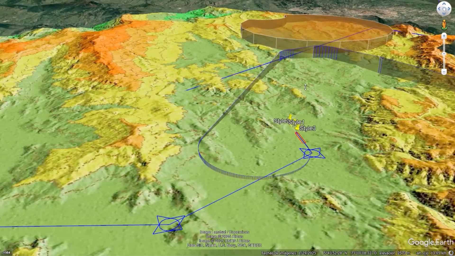
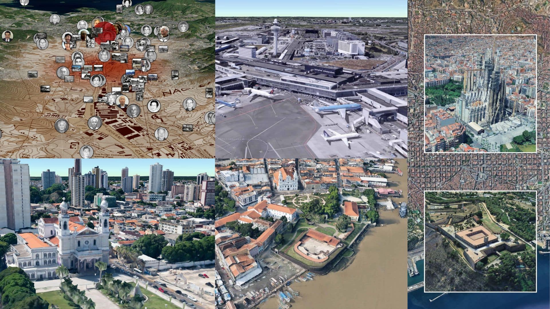
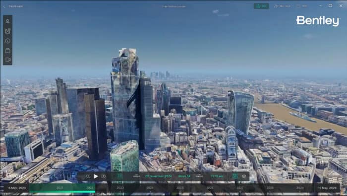
Digital twin of London skyline powered by Bentley’s iTwin and Cesium’s 3D geospatial technology.

Our conversation stressed the importance of collaboration, open developer ecosystems and open standards. We started by reflecting on the history and future of Bentleyā€™s decade-long partnership with Cesium, the 3D geospatial company, that culminated last year with Cozzi and Cesium joining the Bentley family. Since the beginning, the relationship has embraced open standards and interoperability as the foundation that allows software developers and users to innovate, integrate and visualize geospatial data seamlessly in their projects.

Cozzi stressed that Cesium has always been guided by the community through open-source development. Today, it provides a platform that the developer community can take advantage of, using data from sensors and other sources to innovate. ā€œOur mission is to provide them the best tools to let them get the job done,ā€ Cozzi said. ā€œI do feel that this geospatial DNA, this geospatial fabric, it’s going to touch everything. We’re already doing it.ā€

At Bentley, by adopting Cesium’s 3D Tiles open standard and integrating with platforms like Google Maps, we are enhancing asset analytics and providing richer geospatial context for infrastructure projects. This partnership between Bentley, Cesium and Google empowers our users to design and operate resilient and sustainable infrastructure with unprecedented precision and context, reflecting our commitment to advancing the geospatial value chain through strategic alliances.

Itā€™s still early days. Although we’re already adding rich geospatial context and integrating Googleā€™s photorealistic 3D tiles as part of our products, we want to do much more. Google has lots of other data that would be interesting for infrastructure professionals to leverage. It could be mobility data, transportation data or Google Earth data. The potential here and across the industry is as exciting as it is immense.

Relevant Tags

On the night before Christmas, children around the world will hang their stockings with care, in hopes that St. Nicholas ...

Imagine stepping into a room where ancient aqueducts meet cityscapes conjured by generative AI, where stone roads lead to high-speed ...

This week, we explore how generative AI and virtual models are reshaping efforts to protect our planet and its history. ...

Subscribe to The Bentley Brief

Stay ahead of the curve with the latest infrastructure news and insights.