 Pat McLarin
When those elements are handled in disconnected workflows, critical feedback loops between site data and design can break down—increasing the risk of late-stage surprises. “Unanticipated ground conditions are among the top causes of claims and overruns in the industry,” says Pat McLarin, Seequent’s segment director for civil infrastructure. “The remedy isn’t more siloed thinking, but greater connection.”
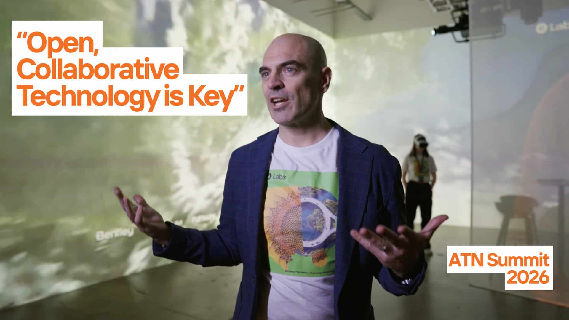
Bentley Systems is uniquely positioned to support that shift, moving workflows from disconnected tasks to an end-to-end coordinated process, powered by data flowing between disciplines instead of down a chain. Bentley and Seequent—Bentley’s sub-surface company—are connecting a digital workflow that links trusted ground data, geotechnical analysis, engineering design, construction planning, and operational insights into a single digital thread.
That capability matters more now than ever, as infrastructure faces mounting pressure from urbanization, shifting transport needs, and decades of underinvestment. “The pressure to accelerate delivery is compressing delivery timelines,” McLarin says. “It means you need a tighter interaction between your geotechnical understanding and your structure, because you’re trying to evolve those things concurrently.”
 Carl Grice
Ground investigation is often seen as a project cost, not the critical insurance policy it truly is, says Carl Grice, who leads geotechnical data management at Seequent. “Having a good understanding of the underground is how you de-risk your project, and that starts with good data,” he says.
Site investigation data—such as boreholes, core photos, field tests, and lab results—needs to be captured, quality-checked, and instantly made available across disciplines. Everyone involved in the design process should be working from the same trusted ground model.
This is where OpenGround comes in. Seequent’s cloud platform for subsurface data management, OpenGround tracks every site test, sample, and lab result, showing exactly which boreholes informed which models and which analyses were run using them. This transparency is essential for collaboration, accountability, and learning—especially on multi-year projects.
But good data doesn’t only come from today’s investigations. The industry is waking up to the untapped value locked in decades of legacy records. “There’s a frenzy of activity across the industry,” Grice says, “to extract information from historic ground investigation reports—sometimes stored in boxes and boxes of paper.”
When done right, the payoff is substantial. For example, the U.S. Army Corps of Engineers recently used OpenGround to centralize its historical ground investigation data from 8,600 sites across the U.S., including boreholes, lab results, and cone penetration testing data. That’s roughly 2.5 million meters of exploration. The Corps now has a half-billion-dollar data asset that will enable future savings from more targeted drilling and data reuse.
“This is a natural extension of the Building Information Modeling philosophy,” McLarin says. “By bringing different disciplines into the same environment, geotechnical and civil engineers can iterate in tighter loops.”
At Hokkaido University in Japan, for example, researchers recently created a workflow that integrates structural models from STAAD with geotechnical analysis in Plaxis, allowing them to feed structural loads directly into subsurface analysis to directly evaluate soil–structure interaction. This tight coupling of civil and geotechnical engineering capability led to a reported 90% more efficient data exchange process—the kind of rapid design validation that fast-moving infrastructure projects increasingly demand.
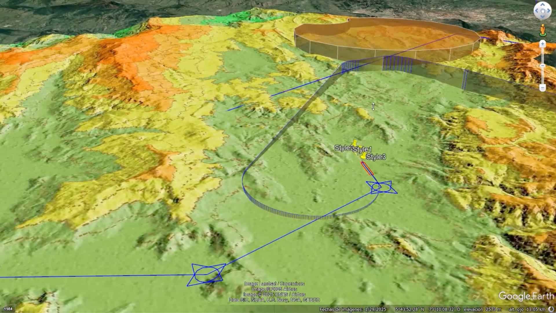
In Madrid, the Metro Line 5 extension is currently underway, costing an estimated €181 million. The extension must thread a new tunnel past an existing metro tunnel and a motorway embankment—with less than 3 meters of clearance at its tightest spot. Initially, a slower, more conservative method was proposed. But by uniting geotechnical and civil engineering in a single digital thread, engineers used Plaxis 3D to model over 400 construction stages and confidently validated a safe, more efficient approach. That deep understanding of the ground will protect Madrid’s existing infrastructure, cut costs and carbon, and keep the project on track.
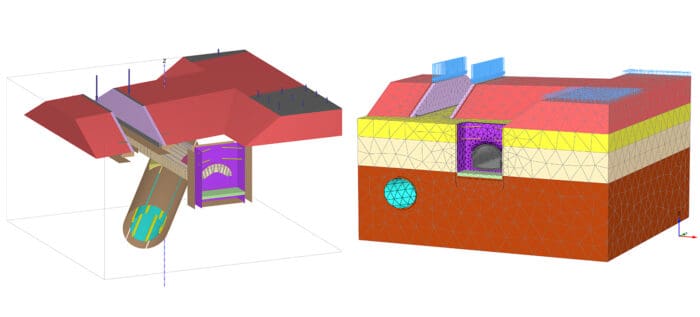 Engineers used Plaxis 3D for the ground modeling and structural planning for Madrid’s Metro Line 5 project.