Reality & Spatial Modeling
Reality & Spatial Modeling
Menu
Close
- All Topics
- Bridge Design
- Building Design
- CAD Modeling & Visualization
- Communication Tower Design
- Construction Management & Planning
- Geotechnical Engineering | Seequent
- Hydraulics & Hydrology
- Mobility Simulation
- Offshore Structural Analysis
- Pipe Stress & Vessel Analysis
- Plant Design
- Project Delivery
- Rail Design
- Reality & Spatial Modeling
- Roads & Site Design
- Structural Analysis & Detailing
- Utilities & Communication Networks
Reality & Spatial Modeling Recent Articles
Seismic rehabilitation of creeping ground using a sustainable micropiled PT raft Organization: GeoStruxer Location: Jazan, Saudi Arabia Project phase: Completed and operational Estimated project cost: USD 5.4 million with a 2.1 million cost savings from optimization Bentley software: PLAXIS, RAM...
by Edita Kemzuraite
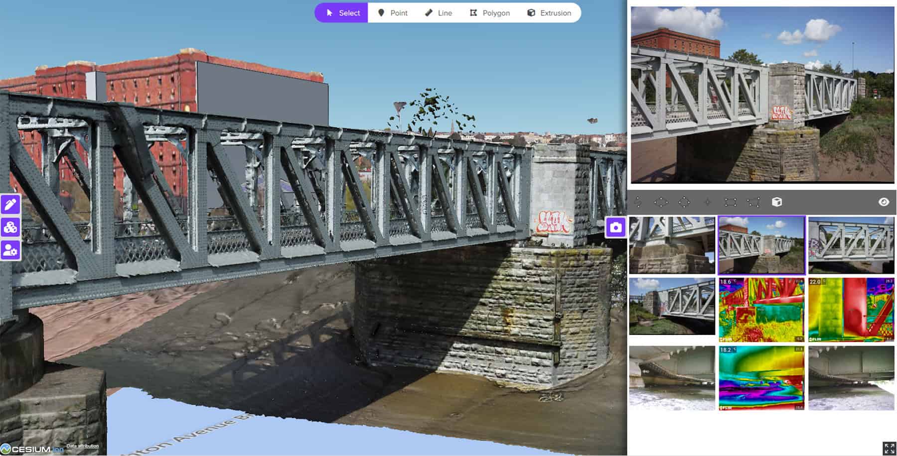
Bristol Harbour Asset Condition Survey with 3D Geospatial Platform Project Organization: Mott MacDonald Project Name: Bristol Harbour Asset Condition Survey with 3D Geospatial Platform Location: Bristol, United Kingdom Project Phase: Completed and Operational Estimated Project Cost: N/A Bentley Software: CesiumJS...

by Aude Camus
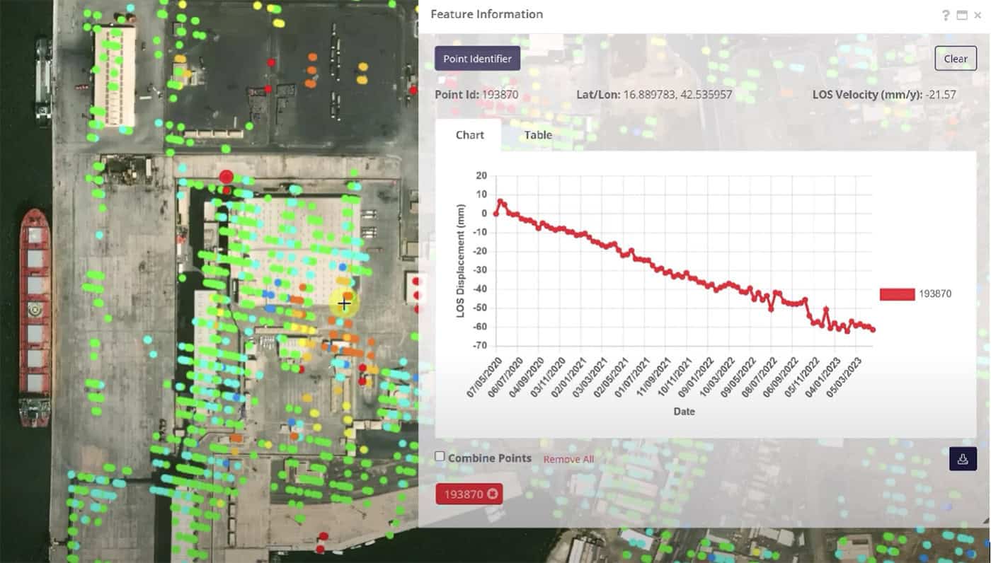
In Al Madinah—Islam’s second-holiest city and a spiritual hub since 622 CE—a quiet revolution is underway. The Madinah Region Development Authority (MDA) is reimagining the city’s future, aligning with Saudi Arabia’s Vision 2030 to welcome 30 million pilgrims annually. But...

by Aude Camus
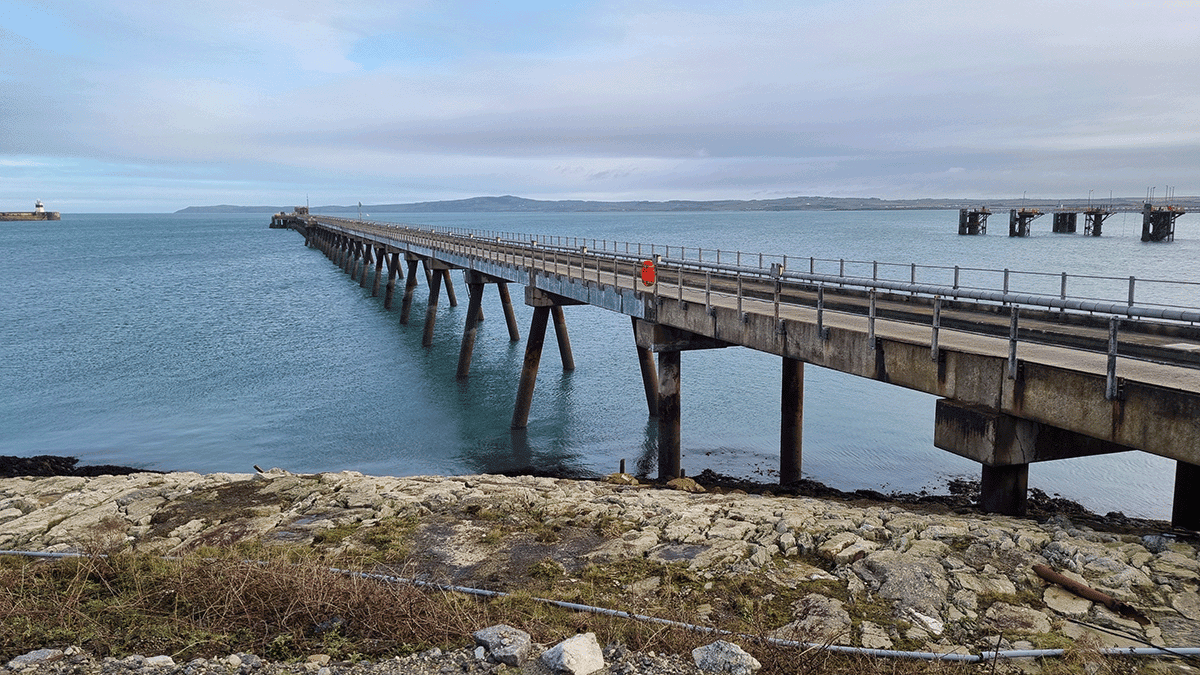
At the Port of Holyhead in North Wales, the Deepwater Jetty is a critical berth for cruise vessels, contributing over GBP 4.75 million annually to the Welsh economy. When the aging structure required a full inspection, Royal HaskoningDHV was engaged...

by Aude Camus
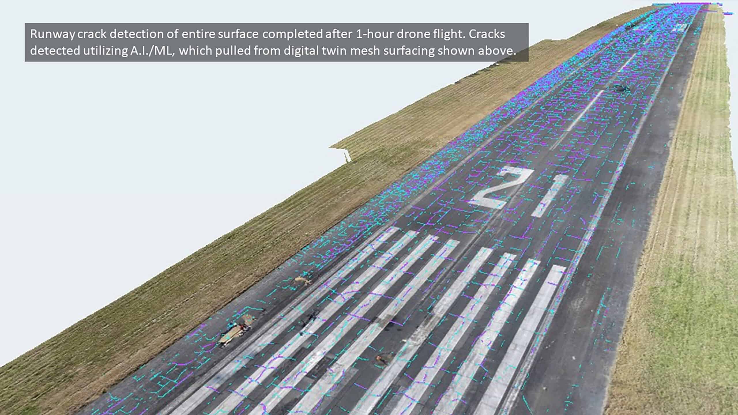
Benesch transforms pavement inspections using AI, drones, and digital twins to cut inspection times by 75% while improving safety and accuracy....

by Aude Camus
From planning to construction to operations, geospatial technologies provide accurate data that improves decision-making, reduces errors, and streamlines processes....
by Gavin England


