In Nagpur, a growing city in central India, delivering drinking water to more than three million residents depends on a vast network that most people never see. Beneath streets and neighborhoods, pumps, pipes, and valves work together to move water across the city every day. For the engineers and operators responsible for managing that system, understanding how the network behaves is essential to keeping water flowing reliably.
To gain better visibility into this complex infrastructure, Orange City Water Pvt., Ltd. (OCW), part of Veolia Water India, developed a smart water digital twin with OpenFlows WaterSight. The utility now has a data-driven view of its water distribution system that helps operators monitor performance, anticipate issues, and make better operational decisions.
Managing a complex urban water distribution system
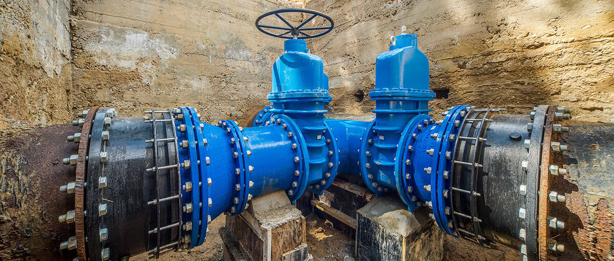
Nagpur’s distribution network spans the entire city and ranks among the largest managed urban water systems in central India. Operating a system of this scale requires utilities to balance daily operational demands with long-term challenges such as changing demand patterns, aging assets, and the growing complexity of urban networks. Changes in one part of the network can quickly affect conditions elsewhere, making it important for operators to understand how the system behaves as a whole.
Over the years, OCW collected extensive operational data across its SCADA systems, GIS, hydraulic models, and customer information platforms. While the data provided valuable insights into network performance, it remained spread across multiple systems, making it difficult to see the full picture of how the network was performing.
Creating a water digital twin with OpenFlows WaterSight
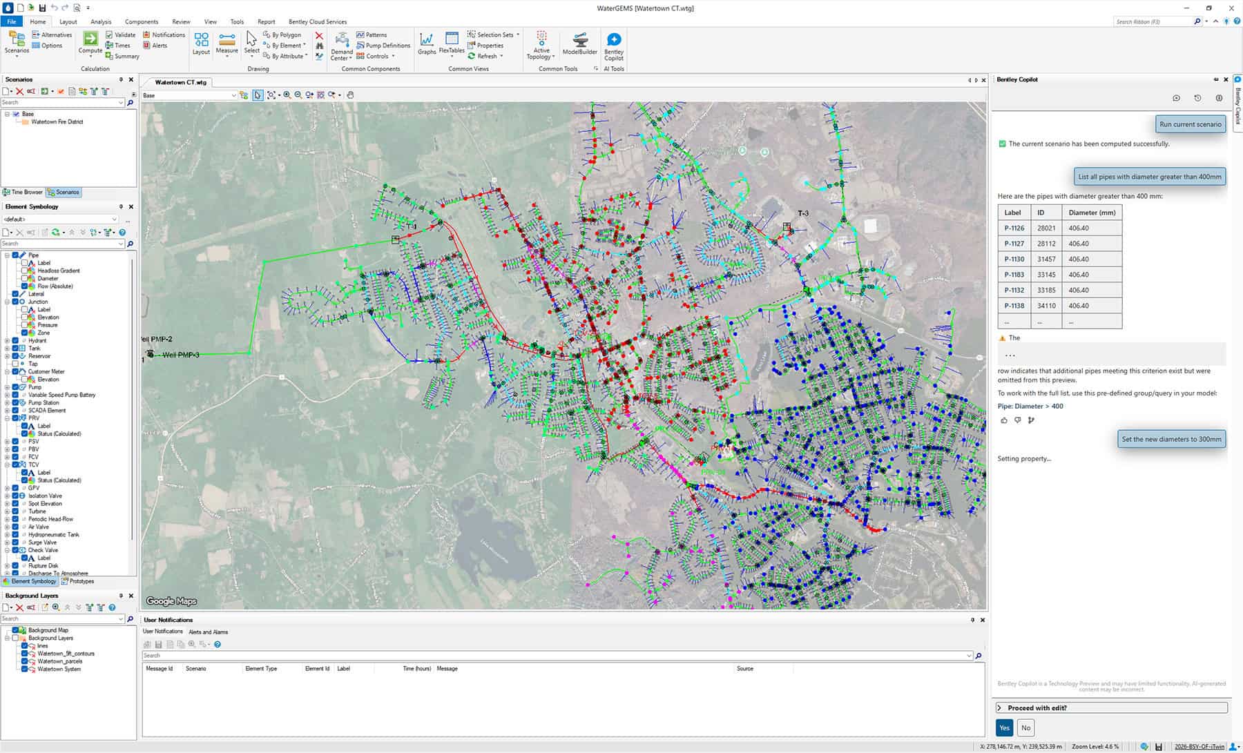
In 2024, OCW began exploring how these data sources could be brought together in a way that would support daily utility operations and planning. The result was the implementation of a cloud-based digital twin built using Bentley’s OpenFlows WaterSight.
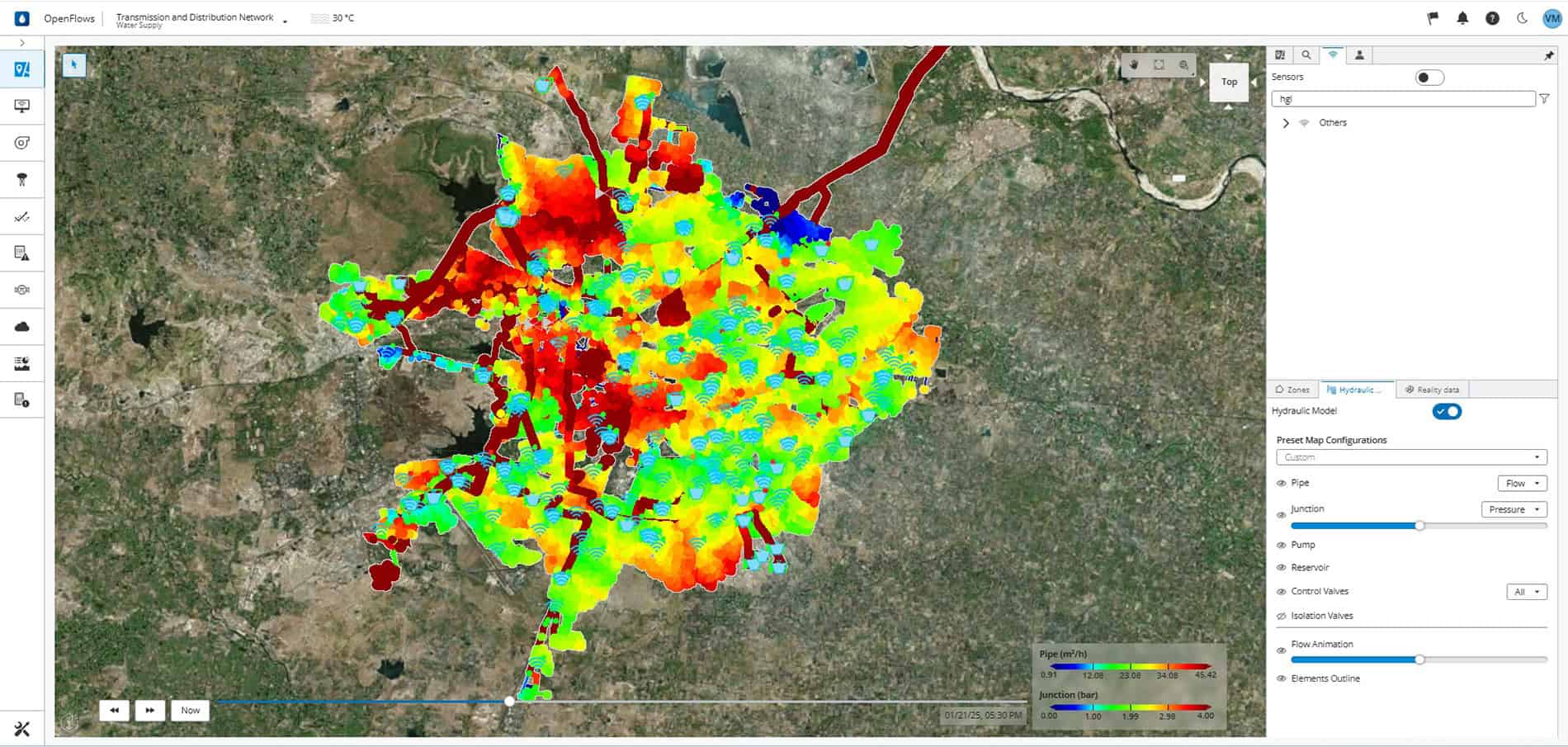
The digital twin combines operation data, asset information, and hydraulic modeling in a single environment that reflects how the network is performing in near-real time. By linking SCADA monitoring data, GIS infrastructure records, hydraulic models, customer information, and historic asset performance data, engineers can see how different parts of the system interact under real operating conditions.
This connected environment provides a shared operational view of the network, helping teams track system performance and evaluate how operational decisions affect conditions across the city.
Implementation of the digital twin began in June 2024 with an initial focus on the transmission and distribution system. By February 2025, the first phase of the platform was operational.
The early stages of the project focused on connecting data and verifying the reliability of the information feeding into the platform. Once this foundation was established, SCADA data was integrated with the hydraulic model.
With the digital twin in place, operators can identify anomalies in system performance. Pump operations can be visualized to understand how different configurations affect pressure and flow. Engineers can run simulations using near-real-time data to evaluate how the system might respond to operational changes.
When unexpected events occur, such as pump shutdowns or pipe breaks, the platform provides a way to quickly assess possible responses before deploying service teams in the field. Because the system is accessible through a browser-based interface, operational insights are available to authorized staff across the organization without requiring specialized modeling software.
Connecting SCADA, GIS, and hydraulic models in one data environment
Building the digital twin required more than simply connecting software platforms. The OCW team first reviewed monitoring infrastructure across the network to ensure that its sensors can provide reliable and consistent information. Because the digital twin relies on real operational data, validating these inputs was a critical step. Integrating different data presented another challenge. SCADA systems, GIS infrastructure records, and hydraulic models were developed over time using different formats and structures. Bringing them together required careful data preparation and coordination between operational and technical teams.
The project also introduced new ways of working. Engineers and operators who had traditionally relied on manual analysis now have access to a platform that continuously evaluates system conditions. As the digital twin began to reveal patterns in how the network responds to operational changes, it quickly became a valuable tool for day-to-day decision-making.
For utility engineers, one of the most significant benefits of the digital twin is the ability to see how operational decisions influence the entire system. Water distribution networks are dynamic. Changes in pump operations, demand patterns, or storage levels in one area can affect pressure and flow elsewhere. By combining real-time data with hydraulic modelling, the digital twin helps engineers track these relationships, giving them visibility to identify potential issues earlier and respond more effectively when conditions change.

Using a digital twin to improve reliability and reduce water loss
While much of the technology operates behind the scenes, its purpose is to ensure reliable water service for the people in Nagpur.
OCW now maintains water quality levels around 98% across the city, and the improved system visibility helps sustain that performance. With greater awareness of network conditions, operators can detect issues earlier and address them before they affect customers.
The digital twin also supports faster responses when service disruptions occur. Engineers can quickly review system conditions, evaluate operation options, and determine the most effective way to restore service.
With the digital twin, OCW can compare water production with consumption data, providing greater insights into water losses within the network. Improving pump efficiency and reducing non-revenue water will help the utility operate the system more efficiently as the city continues to grow.

What Nagpur’s smart water digital twin enables next
For OCW, the Nagpur smart water digital twin provides a more connected view of how the city’s water network performs under real operating conditions.
By bringing operation data, hydraulic models, and asset information into a single environment, the utility now has a practical tool for monitoring performance and planning improvements. What was once a collection of separate data has become a shared operational view of the entire system.
For utilities facing similar challenges, projects like this demonstrate how connected data can support more informed decision making and stronger long-term planning.
For the residents of Nagpur, this project means delivering water to homes and businesses more effectively and sustainably.
Learn how an OpenFlows WaterSight water digital twin helps water utilities improve real-time network visibility, reduce water loss, and operate more efficient water distribution systems.