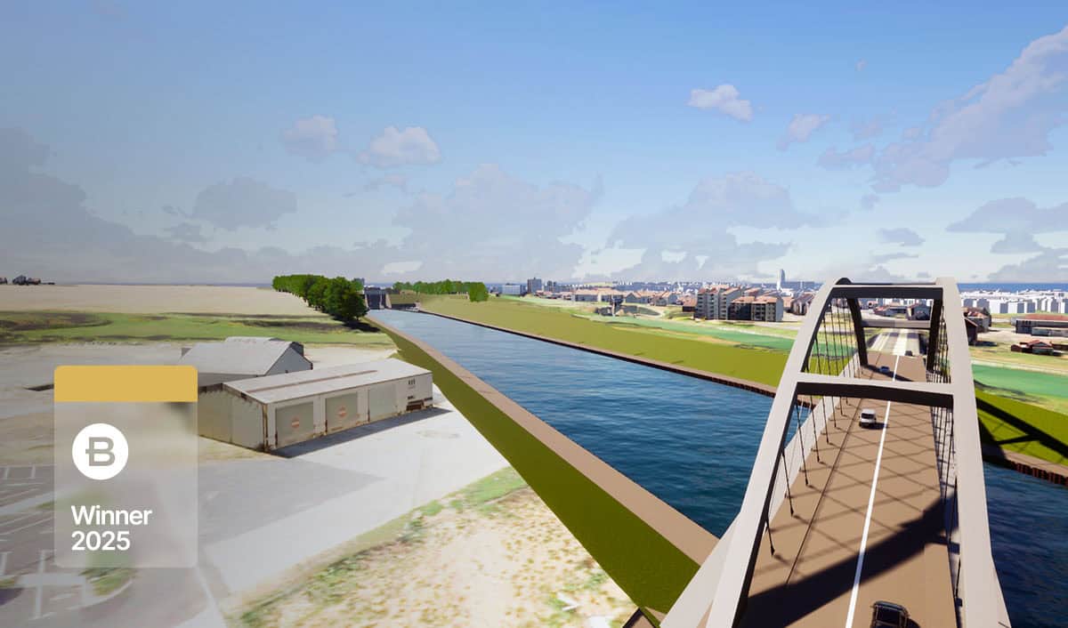
Bristol Harbour Asset Condition Survey with 3D Geospatial Platform Project
Organization: Mott MacDonald
Project Name: Bristol Harbour Asset Condition Survey with 3D Geospatial Platform
Location: Bristol, United Kingdom
Project Phase: Completed and Operational
Estimated Project Cost: N/A
Bentley Software: CesiumJS
Project
Bristol Harbor is a vital built and natural asset for the city — home to houseboat communities, a destination for leisure and tourism, and a habitat for diverse species. To help comply with scheduled inspections, Bristol City Council engaged Mott MacDonald to collect detailed condition information for over 300 above – and below – water assets spanning 21 kilometers across the Feeder Canal, Floating Harbor, and River Avon’s New Cut section.
The project presented challenges in surveying the assets and managing the collected data—highlighting the need for a digital twin for infrastructure capable of supporting long-term planning and virtual collaboration. Traditional on-site inspection techniques were risky, costly, and time consuming, often requiring road closures, roped access, and vegetation clearance. The Council aimed to reduce manual inspections by implementing a comprehensive digital solution using remote sensors to collect 3D spatial data. However, they needed technology that could bring the captured 3D data and imagery into an accessible, online environment to enable condition assessment.
Facts
- Remote and Safer Inspections: Eliminated hazardous access methods such as ropework and diving by enabling desktop-based inspections through high-resolution 3D spatial data and remote sensing tools.
- Accelerated Data Collection and Efficiency: Achieved 50% faster data collection using UAVs, USVs, and LiDAR scanning—streamlining condition assessments for over 300 assets across the harbor.
- Always-On Access and Operational Resilience: Enabled 24/7 remote access to the harbor’s 3D digital twin via a web-based platform, allowing virtual inspections and collaboration without disrupting harbor operations.
- Reduced Inspection Costs and Site Disruption Lowered expenses by removing the need for travel, diving crews, and vegetation clearance—making asset monitoring more cost-effective and sustainable.
- Preserving Infrastructure and Public Access: Protected essential infrastructure that supports Bristol’s cultural, ecological, and economic vitality, while minimizing closures and disruptions to city routes.
- Sustainable Monitoring and Climate Resilience: Preserved natural habitats and supported climate adaption strategies by enabling long-term digital condition tracking and remote monitoring of flood risk areas.
Solution
Mott MacDonald’s digital strategy combined domain expertise, data, and technology in a way not previously done—providing time-stamped evidence of asset condition and building a foundation 3D data model for the digital twin of Bristol Harbor infrastructure.
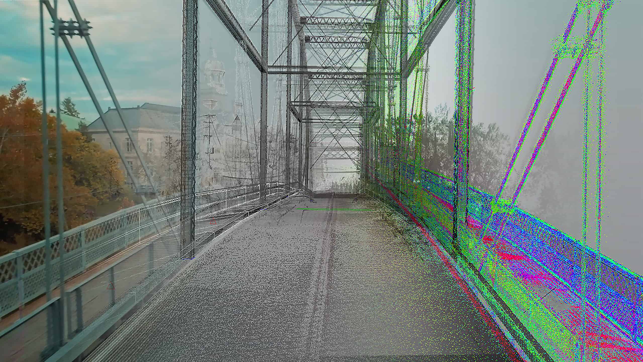
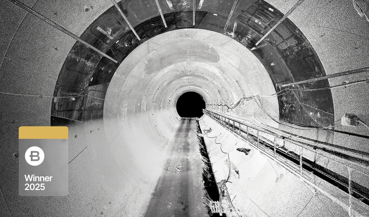
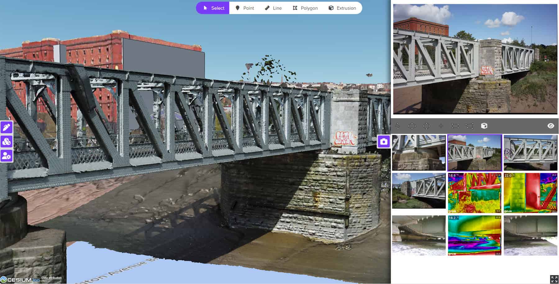
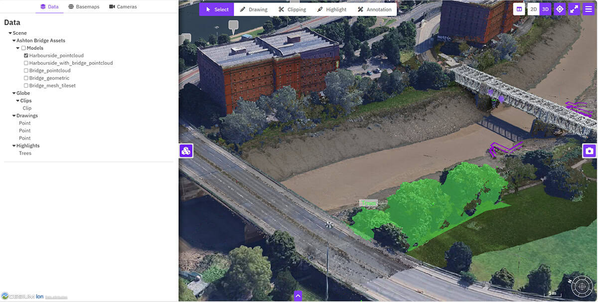
Using a diverse range of non-destructive remote sensing techniques—including Unmanned Aerial Vehicles (UAVs), Unmanned Surface Vessels (USVs), and terrestrial and mobile LiDAR mounted on a survey boat, the team captured over one terabyte of high-resolution data covering more than 300 assets. This included RGB-colored point clouds, photo-realistic mesh models, and georeferenced photographs. The remote sensing approach minimized disruption, eliminated the need for road closures and roped access, and improved Health and Safety.
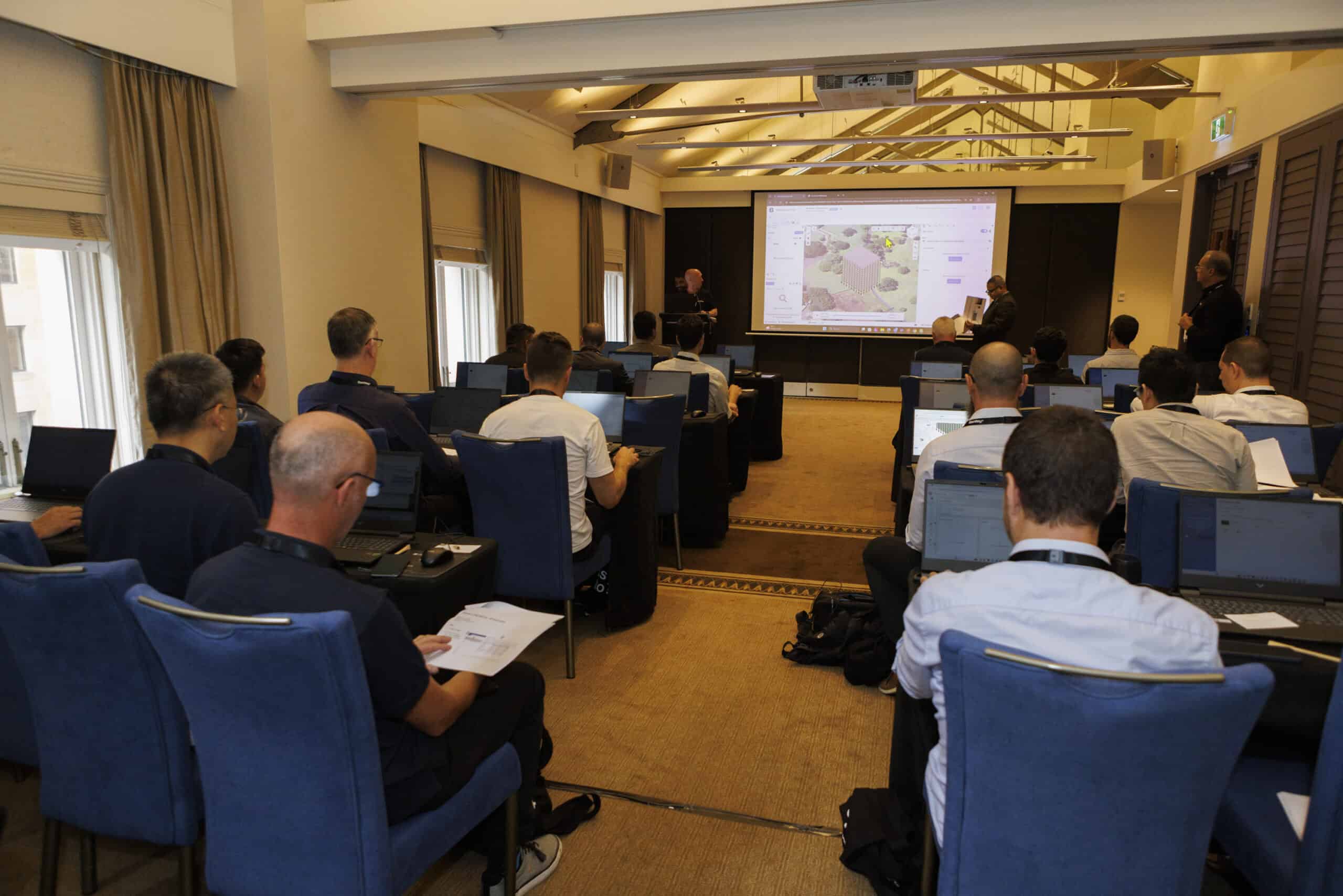
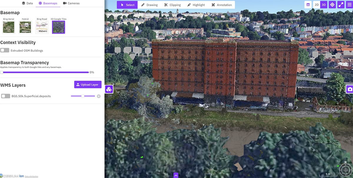
To manage and share this data, Mott MacDonald selected CesiumJS to build a common, web-based platform. This environment enabled stakeholders to view asset defects, annotate 3D models, and complete structured condition assessments using embedded survey forms. The extensibility of CesiumJS supported the development of custom inspection tools and automated reporting, while also enabling advanced features. These included a split-view interface for comparing 3D models across multiple years, photo-annotation capabilities for drone imagery, and the ability to stream Web Map Service (WMS) layers to provide geological context. The platform also allowed users to visualize assets within both city and global contexts using Bing Maps and Google photogrammetry tiles.
Together, these capabilities enabled remote inspections and real-time collaboration, unlocking the value of 3D data and supporting future surveys, change detection, and deterioration modeling.
Transform your infrastructure management with CesiumJS. Unlock safer, faster, and more sustainable inspections—just like Bristol Harbour. Explore CesiumJS ❯
Bentley Year in Infrastructure (YII) and the Going Digital Awards is an annual event where global industry leaders come together to showcase infrastructure delivery and performance excellence and exchange visionary ideas for the future. Find out more on the YII site.