
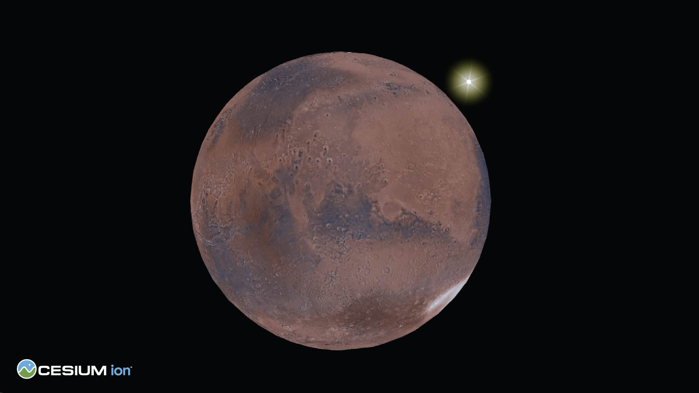
The Red Planet just got a little closer to home, thanks to Cesium Mars.
Cesium, the 3D geospatial technology company acquired by Bentley Systems in 2024, just launched Cesium Mars, a comprehensive 3D dataset that brings the same digital twin capabilities transforming Earth’s infrastructure to our planetary next-door neighbor.
Building on the success of Cesium Moon, this latest offering provides developers, researchers, and mission planners with precise Martian terrain captured by NASA’s Mars Global Surveyor and the European Space Agency’s Mars Express. The dataset combines terrain data with colorized imagery, delivered as 3D Tiles—the Open Geospatial Consortium (OGC) community standard that Cesium pioneered.

The timing couldn’t be more apt. With seven satellites orbiting Mars, two active rovers transmitting data each day, and multiple space agencies planning robotic and manned missions to the planet, the need for accessible planetary visualization and analysis has never been greater. Cesium writes on its blog that Cesium Mars “lowers the barrier to entry for studying existing and new Mars data,” creating “an open, interoperable platform for a digital ecosystem supporting data captured beyond Earth.”
But the real innovation lies in how terrestrial applications are informing extraterrestrial exploration. Space architects designing habitats for Mars are already employing processes identical to those used for Earth’s infrastructure projects. The same open standards and visualization engines powering digital twins on Earth are now enabling users to place 3D models of rovers, habitats, and vehicles on the Martian surface with seamless integration.

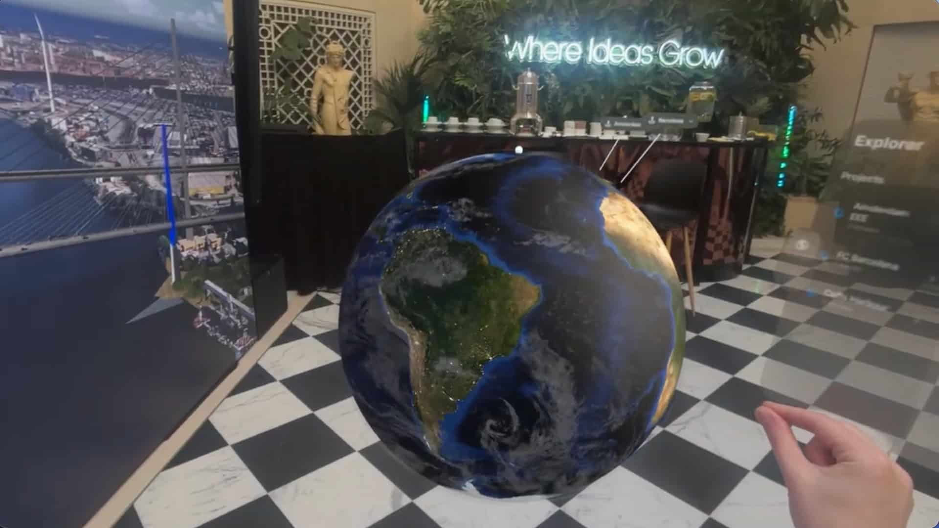
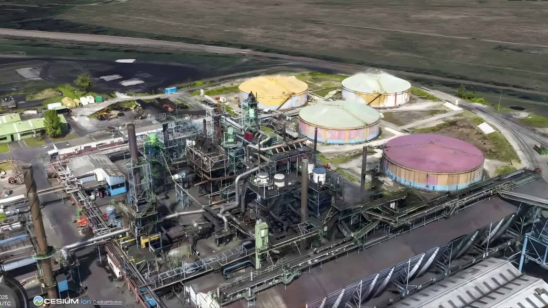
The Cesium platform’s power was demonstrated this spring at Dublin’s recent Urban Tech Challenge, organized by Bentley in partnership with Google and local institutions. Teams used Cesium’s geospatial technology—the same tools for visualizing and analyzing Mars data—to reimagine urban planning, flood resilience, and emergency services. The winning team enhanced Dublin Fire Brigade’s digital twin using census data and risk factors to optimize firehouse locations, showcasing how 3D visualization transforms raw data into actionable intelligence.
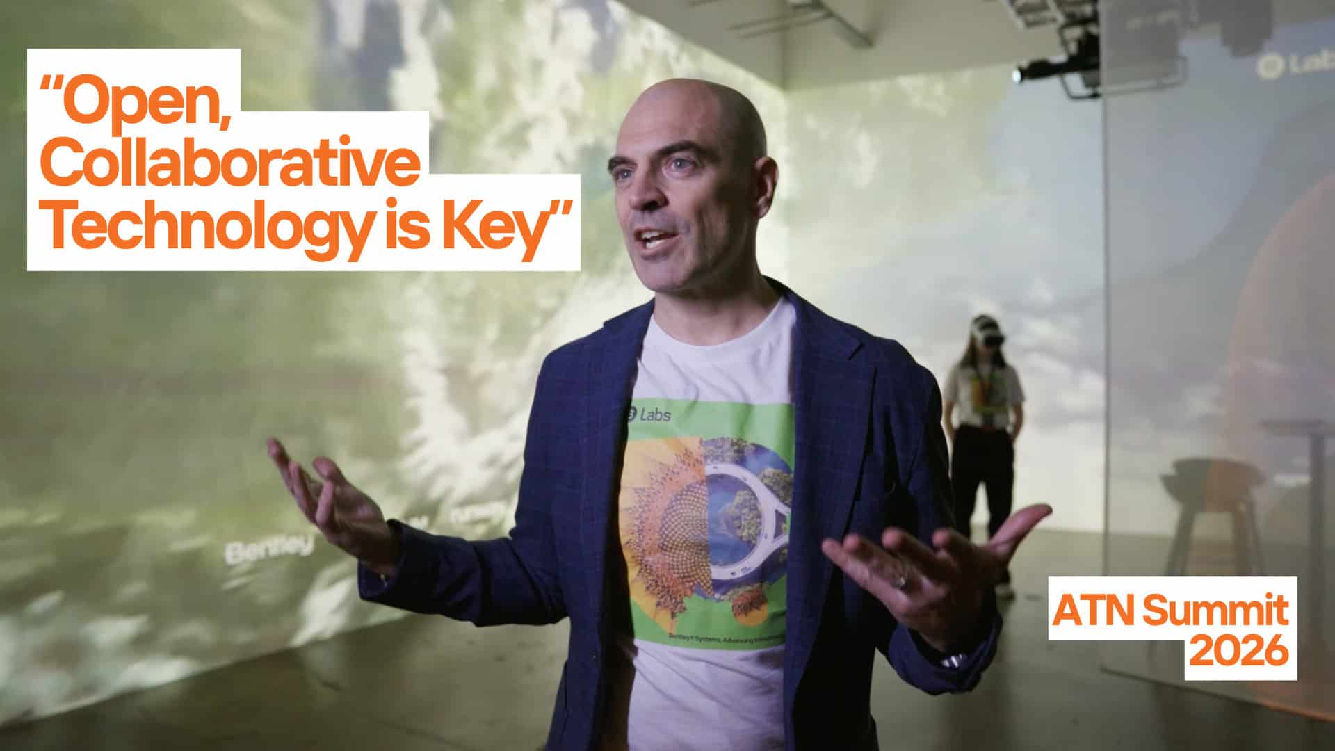
“Without open data, digital twins are just pretty models,” said Jack Kavanagh, open data lead at Smart Dublin, emphasizing the critical role of accessible information.
This philosophy extends to Cesium Mars, which provides space architects and mission planners with the foundational layer needed to overlay high-resolution terrain data and create continuous 3D surfaces for project planning.
The space community is already seeing the potential. Buendea plans to integrate Cesium Mars into NASA’s XR Operations Support System (XOSS), expanding digital twin environments beyond lunar applications.
“By combining Cesium’s geospatial platform with our high-fidelity interactive environments in Unreal Engine, we are creating a foundation for next-generation mission planning, astronaut training, and real-time operations in support of these efforts,” said Buendea founder Julian Reyes.
The technical implementation mirrors Earth-based applications, and Cesium Mars works seamlessly across the company’s visualization engines: CesiumJS, Cesium for Unreal, Cesium for Unity, and Cesium for Omniverse. With the Mars 3D Tileset available through both Cesium ion SaaS and Cesium ion Self-Hosted, the platform offers the same accessibility that makes Cesium’s solutions essential tools for bringing real-world context to infrastructure projects on Earth.
As lunar and interplanetary missions accelerate, Cesium Mars represents more than just another dataset. It’s a bridge between terrestrial digital innovation and cosmic exploration, proving that the technologies reshaping cities like Dublin are equally capable of helping humanity establish its foothold on distant worlds.
Jay Moye is an award-winning writer, editor, multimedia storyteller, and brand journalist. Jay served as global editor-in-chief of Coca-Cola Journey.