Infrastructure is getting more sustainable, more resilient, and more… ancient? This week, we ride a driverless subway train through Greece’s buried treasures, explore a water recycling megaproject, and see how the U.S. Army is testing a 3D-printed bridge made from segments that fit together like LEGO blocks. And while coastal cities face a trillion-dollar threat of rising water, NASA’s eyes are on the skies, with new plans for keeping humans in orbit.
Next Stop, Ancient Greece
What is it?
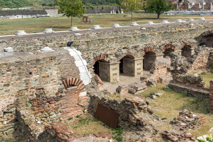
After nearly two decades of construction, frequently interrupted by discoveries of archeological treasures, the long-awaited subway has finally opened in Thessaloniki, Greece. It offers commuters a driverless ride through history. Excavation unearthed over 300,000 buried gems, from Roman thoroughfares to Byzantine artifacts, causing engineers to push tunnels deeper to avoid the ruins. Many of these ancient finds are now displayed in stunning “archaeo-stations,” where commuters can view historical relics on their daily ride. The 13-station system is expected to carry 250,000 passengers daily, easing traffic and cutting emissions in Greece’s second-largest city.
Why does it matter?
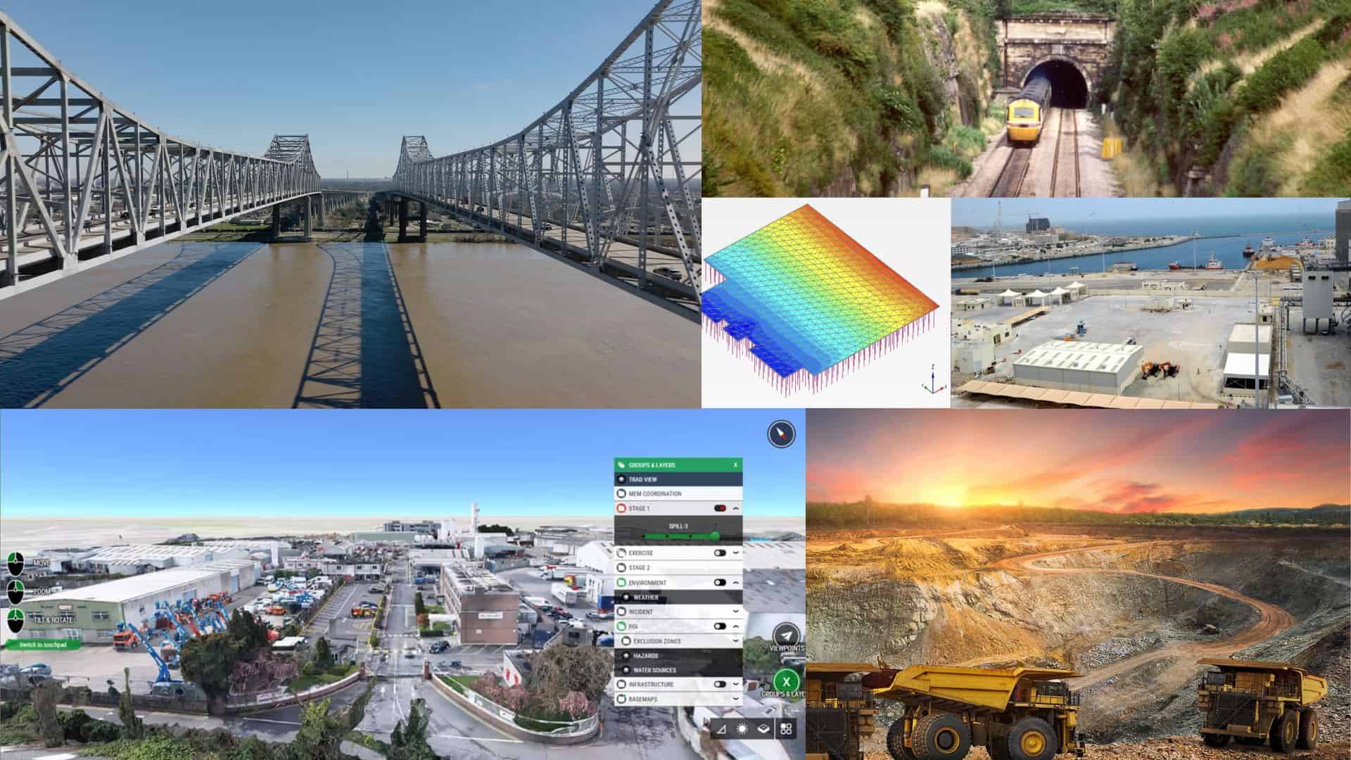
Digital tools including 3D scanning, photogrammetry, and digital twins can play a critical role in projects of this scale and complexity, allowing for precise mapping, rapid documentation, and integration of archaeological finds into design plans. This approach speeds up construction, reduces project delays, and preserves cultural heritage along the way.
Sink or Swim: U.S. Faces Trillion-Dollar Tides
What is it?
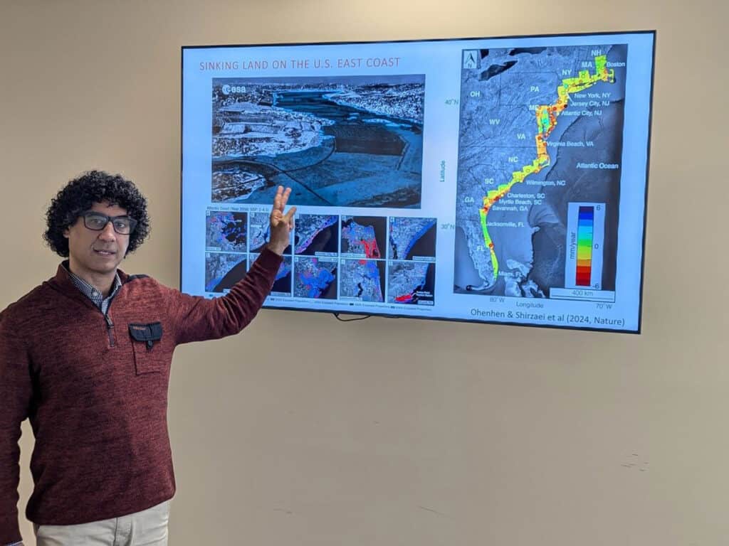
A new study in Nature Climate Change contends that by the year 2100, rising seas, sinking land, and eroding beaches could expose more than 70% of residents living along the U.S. Southeast Atlantic Coast to climate-driven hazards and affects $1 trillion in property. The report highlights how multiple risks are compounding threats to coastal infrastructure. Unlike previous studies that typically focus on flooding alone, this study shows that groundwater hazards could have a far greater impact, affecting critical infrastructure like roads, buildings, and utilities, and increasing the vulnerability of at-risk communities.
Why does it matter?
This research highlights the need for multi-hazard modeling instead of single-risk planning. Tools like geospatial analysis, real-time monitoring, and digital twins promise a comprehensive view of coastal resilience. By combining real-time data with future scenario modeling, governments can visualize and evaluate the cumulative impact of erosion, flooding, and subsidence. This whole-system perspective lets cities test “what if” scenarios, prioritize flood defenses, and safeguard vulnerable communities.
Flush with Potential: Turning California’s Wastewater into Regional Resilience
What is it?
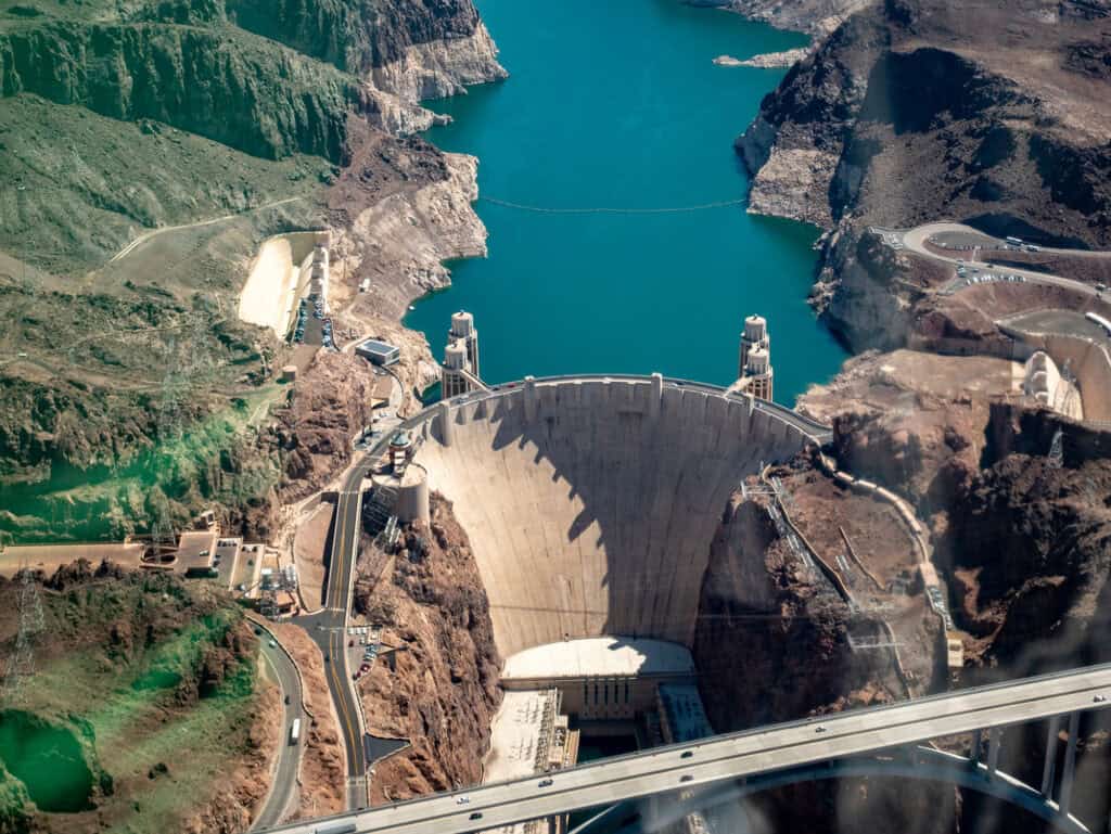
A water treatment project in California that aims to transform 150 million gallons of treated toilet water into purified, reusable water just received a big financial boost. The U.S. Bipartisan Infrastructure Law granted the Pure Water Southern California project $26 million, adding to the $99 million in federal funds it secured in May. The megaproject is ultimately expected to cost $8 billion. By turning what currently flows into the ocean into a sustainable water source, enough for 1.5 million people, it also bolsters regional water security. For example, it will reduce reliance on Lake Mead, the reservoir created by the Hoover Dam and a linchpin for water security, energy production, and ecological balance across the southwestern U.S.
Why does it matter?
With California’s water supply strained by decades of drought, large-scale recycling projects like Pure Water offer a crucial climate-resilient solution. Sacramento’s EchoWater facility—a billion-dollar upgrade to the Sacramento Regional Wastewater Treatment Plant—was completed on time and $400 million under budget using Bentley System’s digital twin technology in its design and construction. By enabling real-time monitoring, predictive planning, and seamless coordination, digital twins can streamline construction, cut costs, and ensure the timely delivery of large, complex projects like
Houston, We Have a Strategy
What is it?
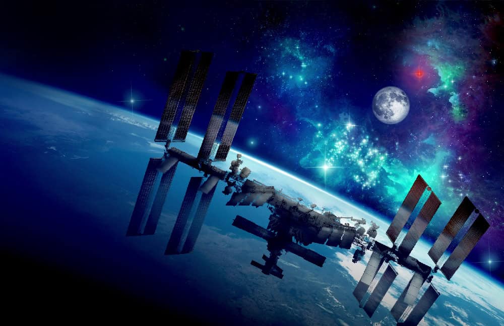
NASA has finalized its long-term strategy to maintain a human presence in low Earth Orbit (LEO) beyond the retirement of the International Space Station (ISS) in 2030. Envisioning a “new era of commercial space stations,” the plan features 13 goals across seven key areas, including LEO infrastructure, engineering, research and technology development for exploration, and industry partnerships. The LEO strategy also plays a critical role in NASA’s larger ambitions for the Moon and Mars, as it provides an essential testbed for new technologies and human survival in microgravity.
Why does it matter?
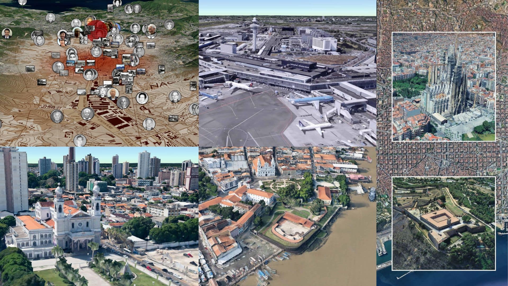
As NASA transitions from the ISS to commercial space stations, digital tools will be crucial. Digital twins and 3D modeling are essential for managing new space infrastructure, supporting mission planning, astronaut training, and system design. For example, ultra-precise 3D models of space environments, such as Cesium Moon Terrain, allow engineers to visualize, test, and refine exploration systems in realistic virtual conditions.
Tetris-Style Bridges Fall Into Place
What is it?
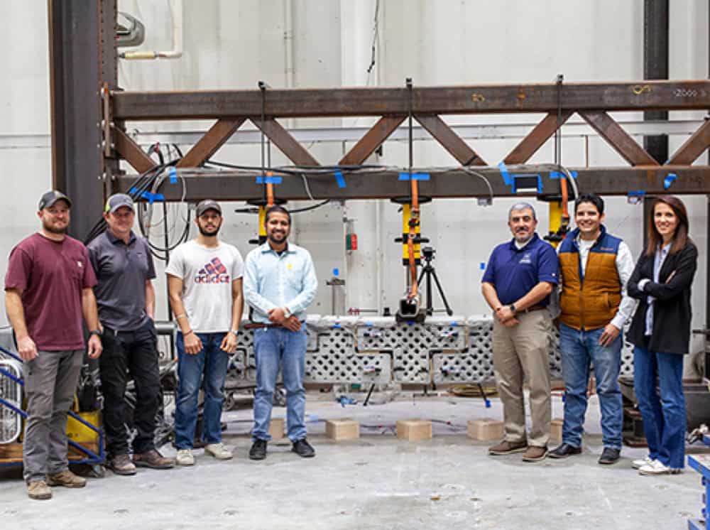
The U.S. Army is testing 3-foot-long concrete modules that can be 3D-printed in combat zones to create on-demand bridges and other infrastructure. Led by researchers at the University of Nevada and using a 3D printer provided by the Army, the team printed T- and L-shaped bridge segments. They fit together like LEGO blocks and are connected via steel cables. The method should allow for rapid deployment and disassembly. Using advanced numerical modeling, the team simulates the strength, weight and other characteristics of each design before committing to printing.
Why does it matter?
In conflict zones, traditional supply chains for heavy infrastructure are slow, costly, and vulnerable. This is infrastructure on demand: print and assemble on-site, and disassemble when needed. By integrating 3D printing, modular construction, and advanced simulation, the military can quickly deploy strong, reusable infrastructure wherever it’s needed. The use of numerical modeling allows for precise predictions of performance, minimizing trial-and-error. This approach parallels the use of digital twins in civil infrastructure, where virtual models are used to optimize design, assembly, and construction.

