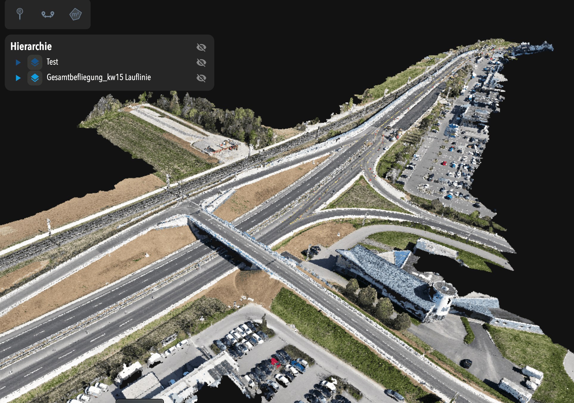
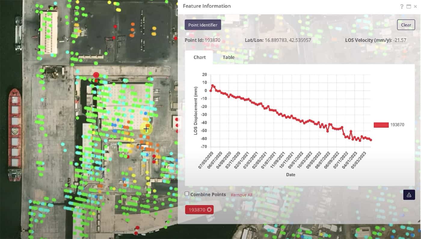
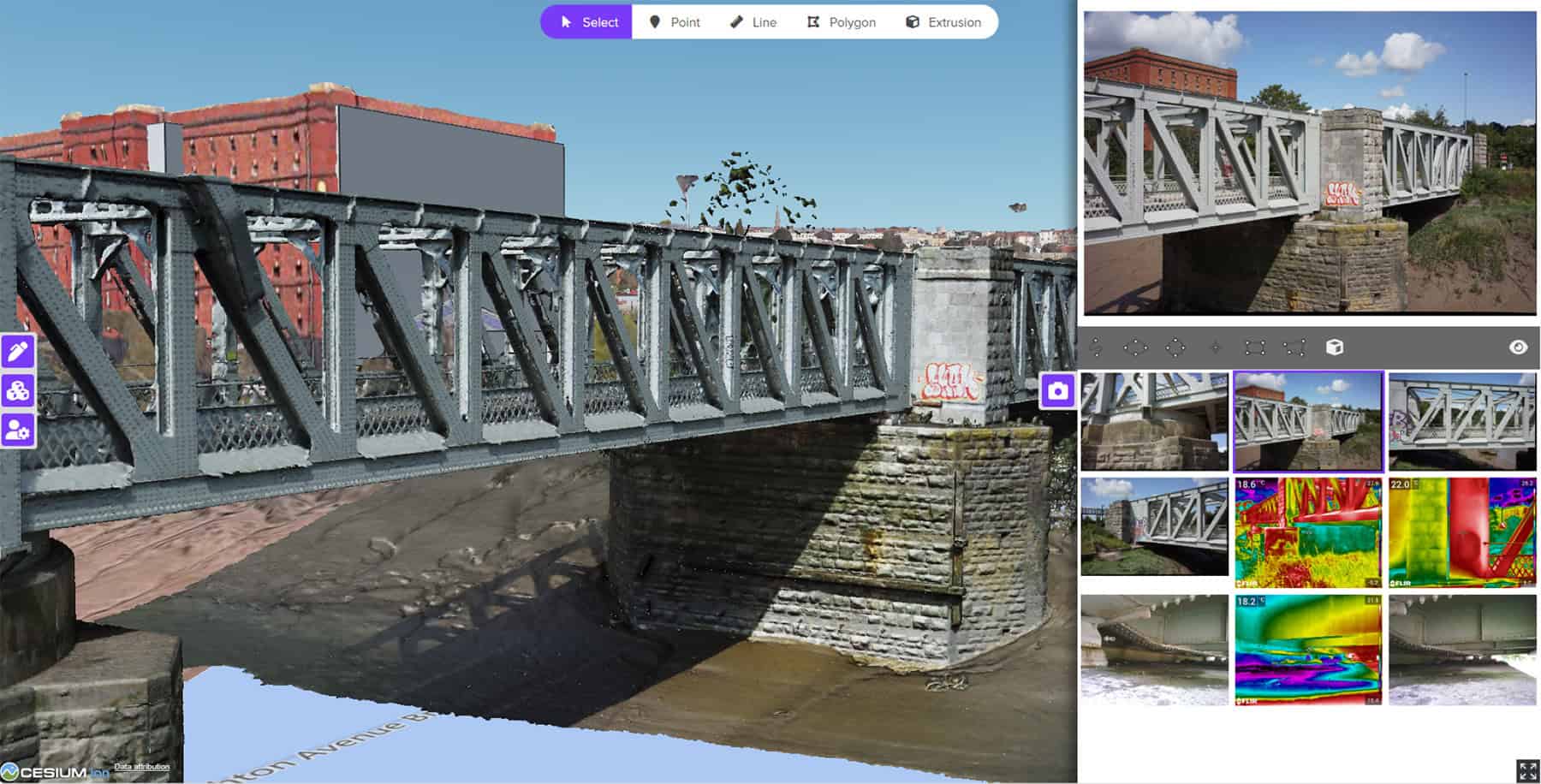
Over the past few years, the use of reality data capture has become more mainstream in infrastructure engineering. However, the analysis of this type of data comes with several challenges, including: how can you manage large volumes of data? How can you efficiently deal with various data types or reference systems? And how can you get real value from terabytes of cold data living on hard-drive disks or cloud storage space?
In the past, the challenges of working with reality data typically required cumbersome manual processes, which made users reluctant to do tasks, such as feature extraction from massive point clouds or images sets.
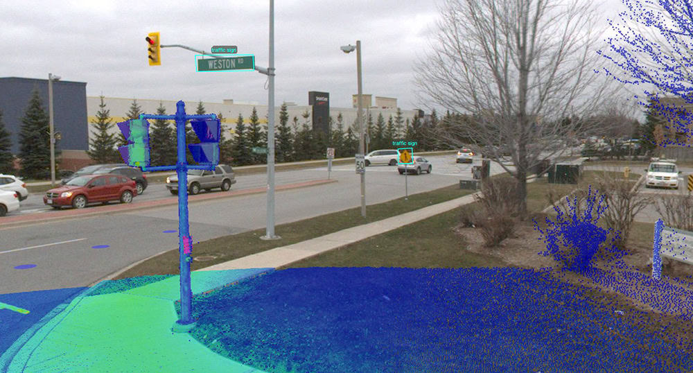
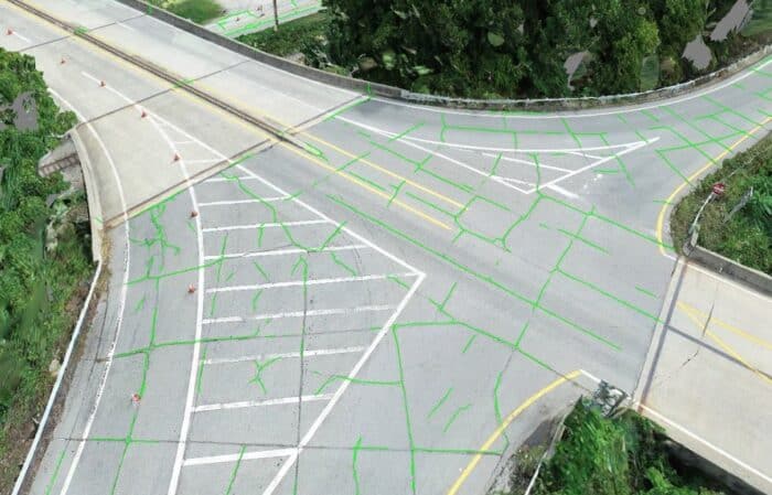
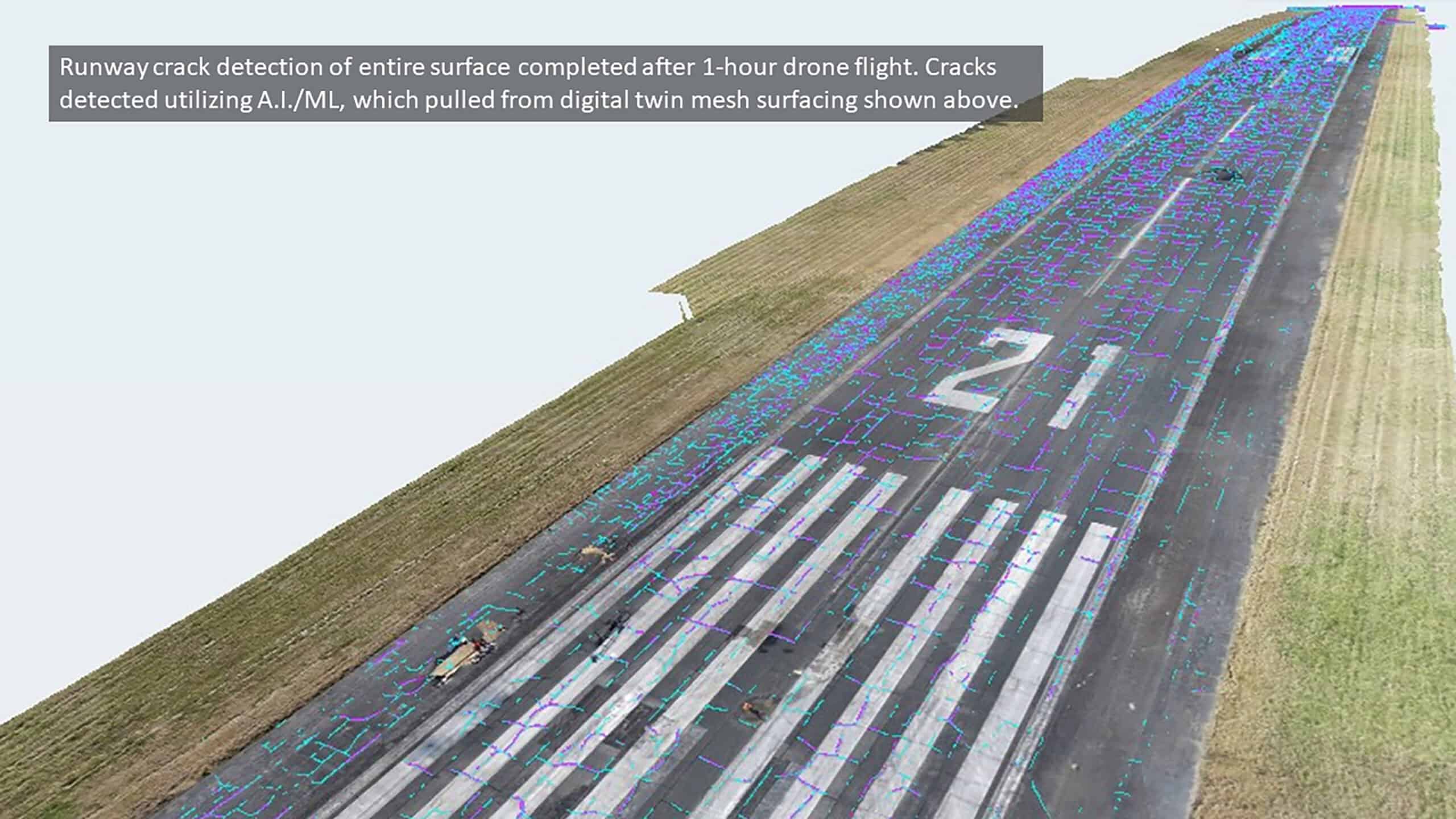
iTwin Capture completely changes this paradigm. By leveraging the latest AI technology, it automates feature extraction from reality data and delivers significant time savings.
Now, you can easily answer questions such as: how many light poles are in this district? Where are the traffic signs along this road? How many kilometers of guardrails are on this highway? These are the kinds of questions you’ll be able to answer in hours instead of days or weeks.
iTwin Capture provides a unique and powerful set of AI features. Whether working on point clouds or images, you’ll be able to train custom AI detectors to perform at their best within your usual capture conditions. Once trained, AI detectors can be used to extract features of interest from data sets of any size. When used in a quality assessment environment, iTwin Capture’s AI features will significantly reduce the time to delivery.
Typical use case
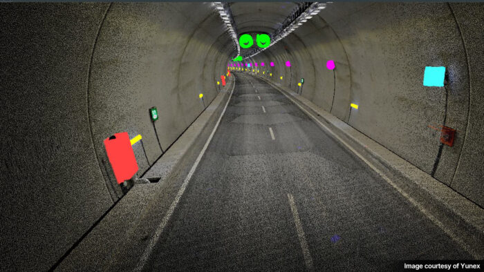
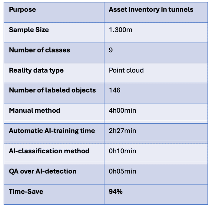
A typical use case is identifying the position and the class of various objects of interest in a tunnel several kilometers in length, such as signs, wall lights, fans, and cabinets, and delivering these objects in a common vector format. Since the amount of data to manage is large, the automation capabilities of iTwin Capture are very beneficial for this type of task.
In this case, a nine-class detector has been trained to identify various assets. When analyzing a mobile-mapping point cloud, it can output a classified point cloud and 3D points for each element of interest. If not perfect, automatic detection results can easily be verified in the iTwin Capture environment to ensure the creation of consistent deliverables.
The time savings associated to this specific work is above 90% when compared to a fully manual approach.
